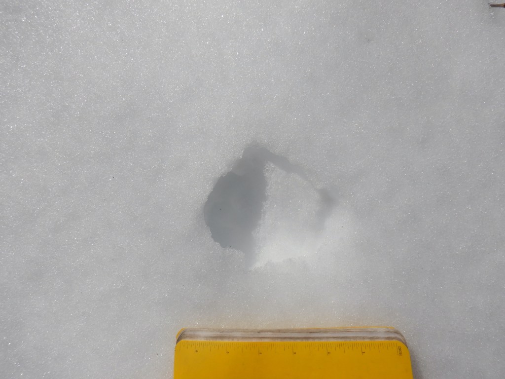
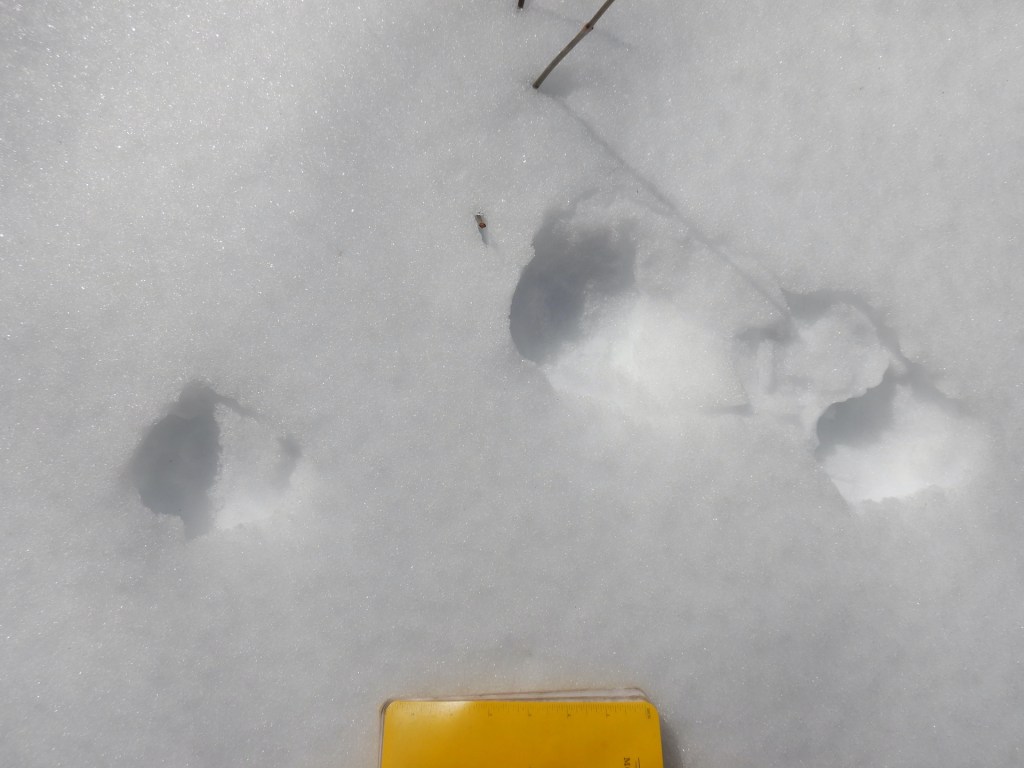
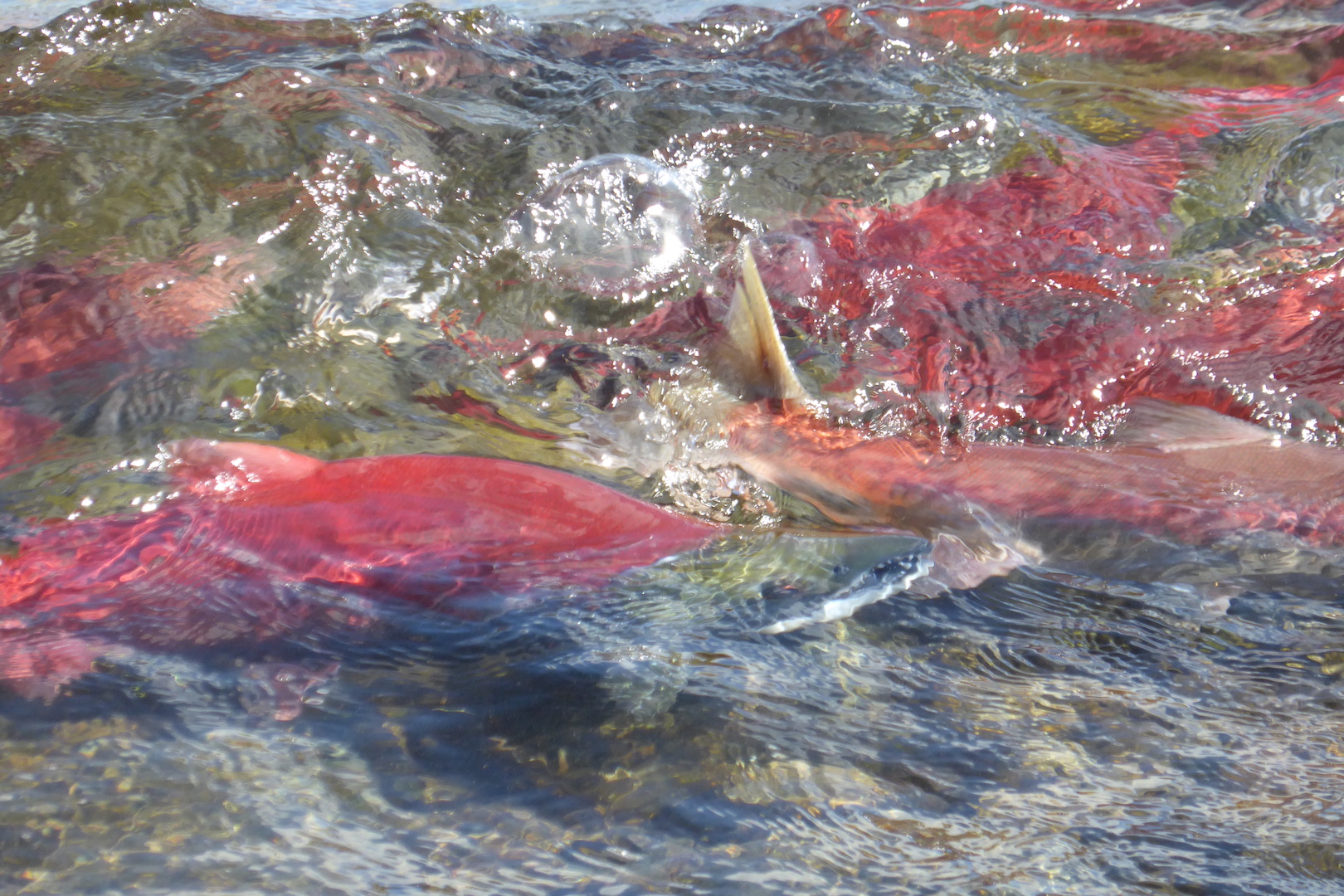
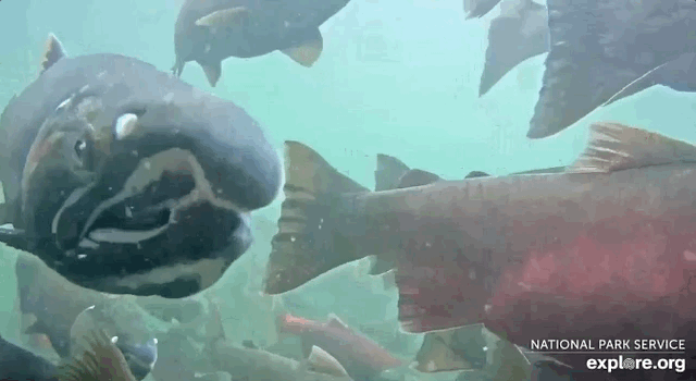
In Maine, Atlantic salmon are highly endangered. Prior to European colonization and, later, industrialization of the landscape’s rivers, hundreds of thousands of salmon returned to spawn in Maine every spring. Now, however, a so-called good year includes the return of 1,500 fish to the Penobscot River, which is Maine’s most productive salmon river, and maybe 2,000 fish total statewide. Maine is also the only state with runs of wild Atlantic salmon.
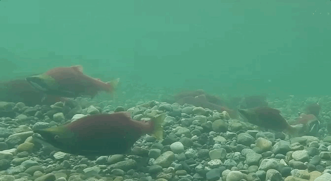
Kennebec River used to be one of Maine’s great salmon rivers, but its Atlantic salmon are nearly extinct. The recent 10-year average (from 2014-2023) of annual returning adult salmon at the Lockwood fish lift in Waterville, Maine is a mere 51 fish. Salmon fare so poorly in the Kennebec because they encounter four impassible dams between Waterville and Skowhegan. Even so, there’s an opportunity to save the Kennebec’s salmon run if we act now.
The Federal Energy Regulatory Commission (FERC) is considering relicensing operations on four hydropower dams on the Kennebec River. For decades, these dams have lacked any effective fish passage for salmon and have prevented salmon from reaching upstream spawning areas. If the dams are kept in place, even with improved fish passage efforts, we can expect the dams to continue to harm salmon and heighten their risk of extinction.
Unfortunately, FERC’s draft environmental impact statement (DEIS) for the dams calls for relicensing the facilities at the expense of salmon. At the end of this post, you’ll find the comments that I submitted to FERC about its DEIS. I found reason for extraordinary concern in FERC’s conclusions.
We know that dam removal works to restore fish runs. One of the first and best examples was on the Kennebec in Augusta. The 1999 removal of the Edwards Dam led to a great resurgence of shad, sturgeon, striped bass, river herring, and alewives to the lower Kennebec. Elsewhere in Maine, many people and organizations have worked diligently over the last few decades to restore Atlantic salmon with the largest success occurring on the Penobscot River. (This short podcast explores current efforts to restore sea-run fish in the Penobscot.) On the West Coast, the removal of dams on Washington State’s Elwah River allowed salmon to return in numbers not seen there in 100 years. In California right now, efforts are underway to remove large dams on the Klamath River to open hundreds of miles of river to Chinook and other salmon. In Washington and Idaho there is a growing chorus of support to remove impassible dams on the Snake River for the benefit of salmon and the species (including people) who depend on them.
The upper Kennebec River, though, remains imperiled because four dams block passage of sea-run fish. The few salmon that attempt to return to the upper Kennebec must be captured and transported by truck around the dams to reach any spawning habitat.
In its DEIS, FERC proposes to relicense the dams of the Shawmet Project on the Kennebec. This seems to be another example of conservation minimalism, which was defined in a 2023 paper as “Any minimal standard [that] inevitably excludes some worthwhile conservation targets—values, obligations, and principles that ought to be upheld, or specific ecosystems and species that ought to be protected—by factoring them out as irrelevant to the specified minimum.” That is, humans taking everything but the bare minimum. We allow a species to persist only in greatly restricted ranges or low overall numbers or both. Regarding salmon, the cost-benefit analysis of dams are too often viewed through a lens that obscures the ecological and cultural benefits of fully restored salmon runs. That viewpoint does not allow for the restoration and maintenance of salmon at their fully realized ecologic potential.
Too often, “balancing” the wants of people and needs of wildlife, including fish such as salmon, has meant a cumulative degradation and loss of wildlife habitat. Therefore, the so-called balance is not a compromise with wildlife but harm forced on wildlife and their habitats. These decisions eat away at our natural heritage, piece by piece, leaving each successive human generation with a more impoverished environment than the last. FERC is on the cusp of repeating that mistake on the Kennebec unless the FERC requires stronger, more effective fish passage structures for the Shawmut Project beyond what is already proposed in the DEIS or the dams are removed. These dams are not worth more than salmon. Extinction cannot be an option.
Please comment on the DEIS (docket 2322) if you can (which is not a simple process so see these instructions). But I realize this is a last minute request since the comment period closes today (June 4), and most people don’t have time to wade into a 400-page environmental impact statement. So if you can’t comment this time, then I ask you to keep salmon and other sea-run fish in mind when you make your daily decisions. Vote for people who support wild, sustainable populations of fish and will work to improve protections for salmon, which includes tackling climate change ASAP. Don’t eat farmed salmon, as farmed salmon are one of the greatest threats to the viability of Atlantic salmon in North America, especially in Maritime Canada. Finally, please share the amazing journeys of salmon with people you know. The more people who appreciate the remarkable lives of salmon the better.
Thanks for reading and for your support of wild salmon. Below are my comments on the Shawmut Hydroelectric Project. (FERC restricts comments to 6000 characters, which is quite limiting considering that the documents about relicensing dams often run for hundreds of pages. Nevertheless, I tried my best with the character limit.)
I’m writing to urge FERC to recommend the decommissioning of the Shawmut Hydroelectric Project No. 2322 (Shawmut Project) on the Kennebec river. The fish passage measures outlined in the draft environmental impact statement (DEIS) are inadequate and will likely prevent the restoration of self-sustaining runs of sea-run fish, especially Atlantic salmon. FERC should recommend the Shawmut Project’s dams be removed on the Kennebec River.
We lack the necessary skill and knowledge to engineer fish passage that allows all migratory fish species to overcome the challenges created by dams. On the Kennebec River, it is particularly difficult to provide adequate fish passage around dams because the river is home to at least ten diadromous species that migrate at different times of day, different times of the year, and under different hydrologic conditions.
Of utmost concern is the Kennebec’s run of Atlantic salmon, a distinct population that is highly endangered. Their recovery is doubtful as long as dams exist on the Kennebec. The DEIS contains no substantive evidence that adding additional fish passage to the four dams on the lower Kennebec will favor Atlantic salmon and enhance their recovery to a point where the population is no longer endangered.
I’m greatly concerned that Brookfield’s proposed fish passage measures will not provide salmon with the opportunity to migrate rapidly upstream or downstream. For example, page xx of the draft EIS states,
“Brookfield also intends to achieve an adult salmon upstream passage effectiveness standard of 96% within 48 hours of a fish approaching each project, in order to achieve a cumulative upstream effectiveness standard of 84.9% through all four projects within 192 hours.”
“Resident time” is double speak for substantial, harmful migration delays imposed on salmon. A 192-hour delay is an 8-day delay for a salmon to travel about 18 river miles between the lowermost and uppermost dam of the Shawmut Project. Since Atlantic salmon are reliant on stored body fat and protein to fuel upstream migration, this will cost adult salmon vital energy reserves as they attempt to find a way past the dams with negative consequences on their reproductive survival.
Dams make river water warmer and slow its flow. Under future climate conditions, the Kennebec may become warmer during salmon migration periods. Warmer water holds less dissolved oxygen and increases the metabolism of salmon. Therefore, the effects of an 8-day delay will decrease salmon survival and reproduction upstream, regardless of the modeled 84.9% effectiveness.
Pages 55-57 of the DEIS explore the risks of such a delay on salmon, yet somehow the significant, cumulative, and negative consequences of delays due to the dams are deemed acceptable by FERC. Pg 57 of the DEIS states, “Brookfield’s proposal to test the fishway effectiveness and implement additional adaptive management measures … is a reasonable approach.”
However, FERC’s conclusions on page 57 are not consistent with the science cited in the DEIS. For example, page 56 of the DEIS includes the remarkable statistic that under a four dam scenario on the Kennebec 37.4% of the run would die before spawning. As the Kennebec Atlantic salmon population is close to extinction–the recent 10-year average (from 2014-2023) of annual adults returns at the Lockwood fish lift is a mere 51 fish (DEIS page 44)–then a nearly 40% mortality due to dam-caused migration delays is completely unacceptable.
Additionally, on page 52 of the DEIS notes that Brookfield “would modify or construct additional fishways only if needed after its proposed fishways are complete and have been tested for effectiveness.” This position also risks further harm to salmon. If new fish passage structures are ineffective, then the Kennebec’s salmon may already be faring worse than now. The most parsimonious and beneficial strategy for Atlantic salmon would be to require, beyond doubt, reasonable and effective fish passage as part of the relicensing process or decommission the dams. Based on the best scientific evidence, FERC’s position is neither reasonable or scientifically justifiable.
Additionally, the reasons why certain species of fish do not take to artificial fish passageways is sometimes unknown. Rivers are complex systems and artificial fish passageways only grossly approximate the conditions the fish would experience in the absence of dams.
A free-flowing Kennebec River and naturally self sustaining runs of diadromous fish are worth more—economically, ecologically, and culturally—than anything the Shawmut Hydroelectric Project can provide.
Maine’s rivers likely never supported tens of millions of salmon, but they could and should support hundreds of thousands of salmon and tens of millions of sea-run fish collectively. Instead, status quo industrialization threatens to keep our watersheds impoverished. It is difficult to imagine the richness of a river full of salmon in Maine because that phenomenon hasn’t been experienced here in many generations. We suffer from a multi-generational amnesia that has us collectively accepting the near or complete absence of salmon and other sea-run in our rivers when their absence is not at all normal. The DEIS somehow tries, and fails, to justify that the current status quo is okay when it is not.
The electricity generated by the dams can be replaced easily by wind and solar installations. Energy conservation measures across the state could also be implemented to mitigate the loss of the hydropower. As long as these dams exist, the Kennebec’s Atlantic salmon are likely to remain endangered or, at best, exist only as a remnant population, while people and the ecosystem will never experience the full benefits of healthy runs of Atlantic salmon and other diadromous fish. Do not relicense the dams. It is the wrong decision and guarantees, with near certainty, that Atlantic salmon will remain endangered for the foreseeable future.