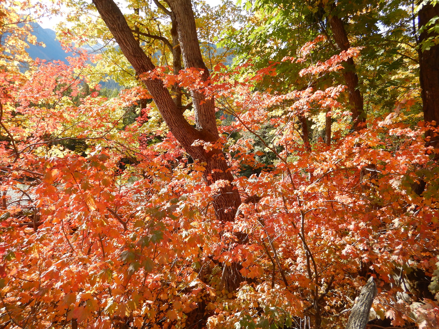
If I knew I had only one day to live, then one of the few things I’d do is take a walk in the woods. So, everyday, I try to take a walk in the woods.
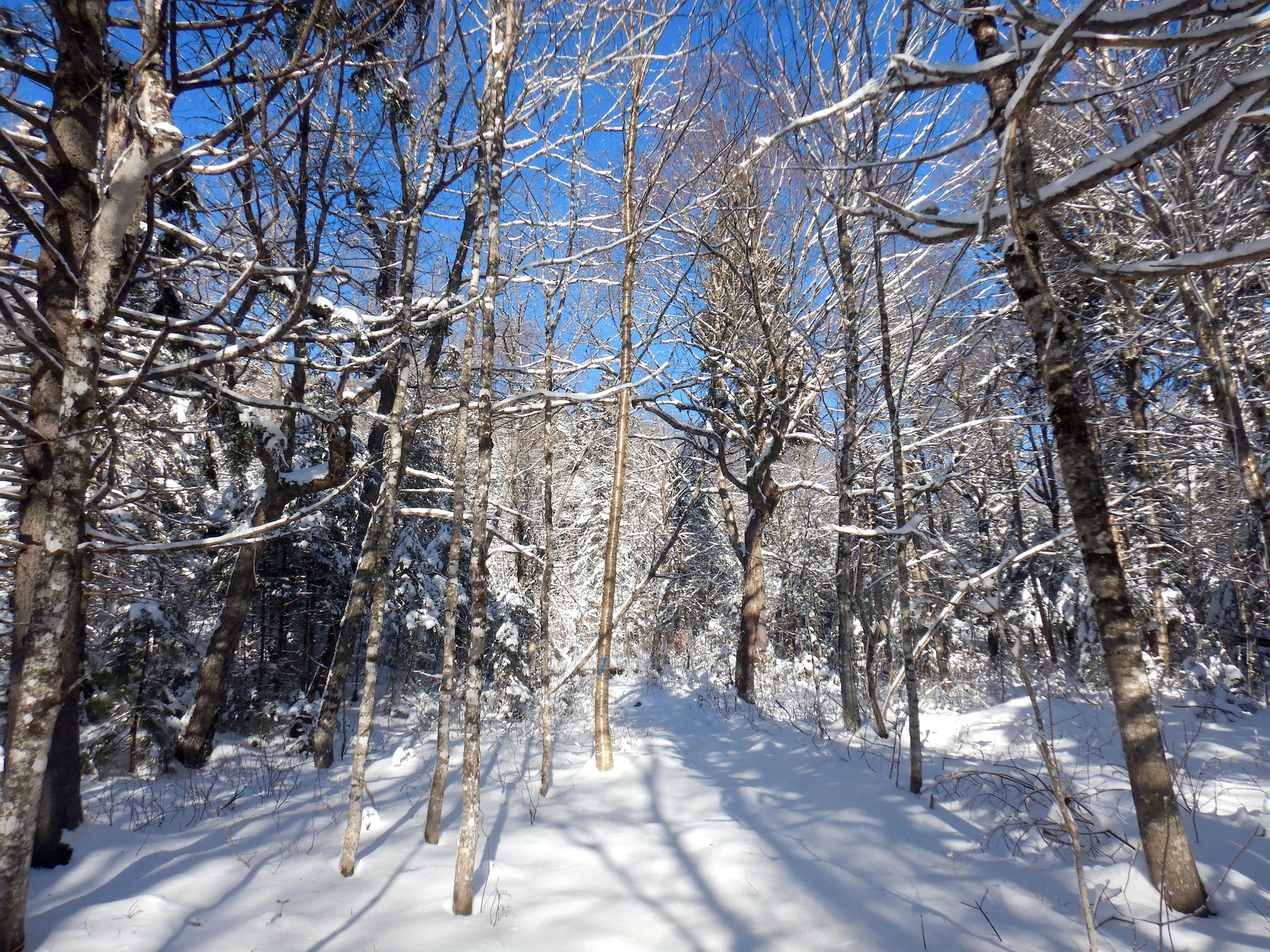
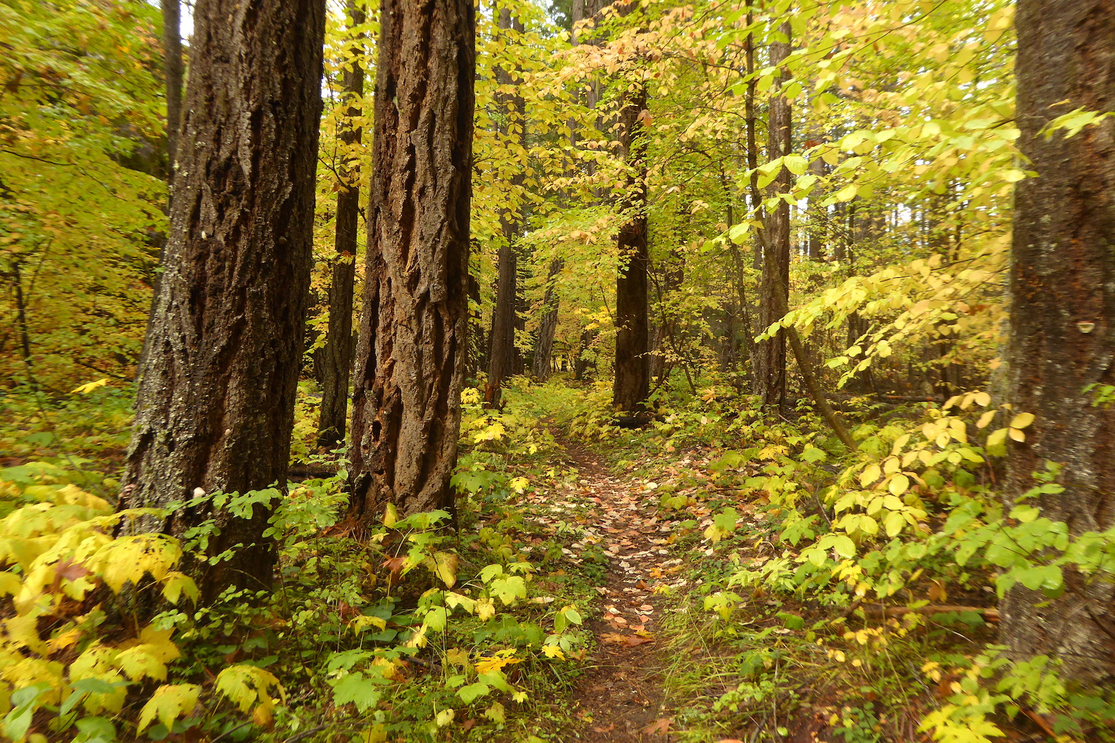
Many days I walk the same path out my back door where I maintain a rudimentary trail. I minimize the trail’s footprint by keeping it narrow and pruning plants at its edges only when necessary. Stepping stones and short boardwalks made out of scavenged lumber help keep my feet dry where the soils remain perpetually sodden. Sometimes I’ll saw through a tree fallen over the path. Then again, I might simply reroute the trail to let the tree rest in peace. After all, the trail’s purpose isn’t so much to ease the effort of travel, although that is a perk, but to allow me to move quietly. It is not a trail for a hurried hike.
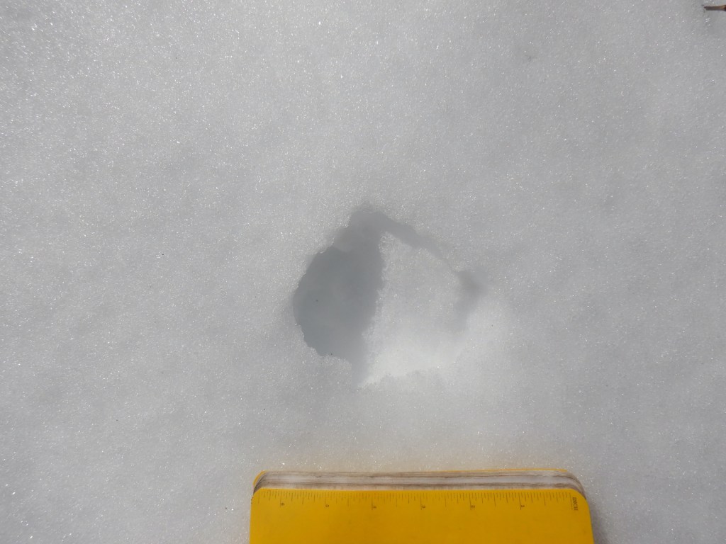
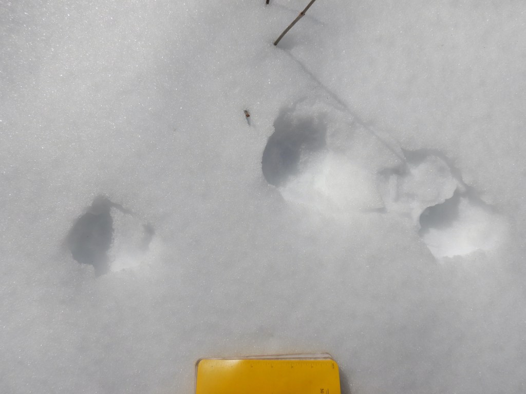
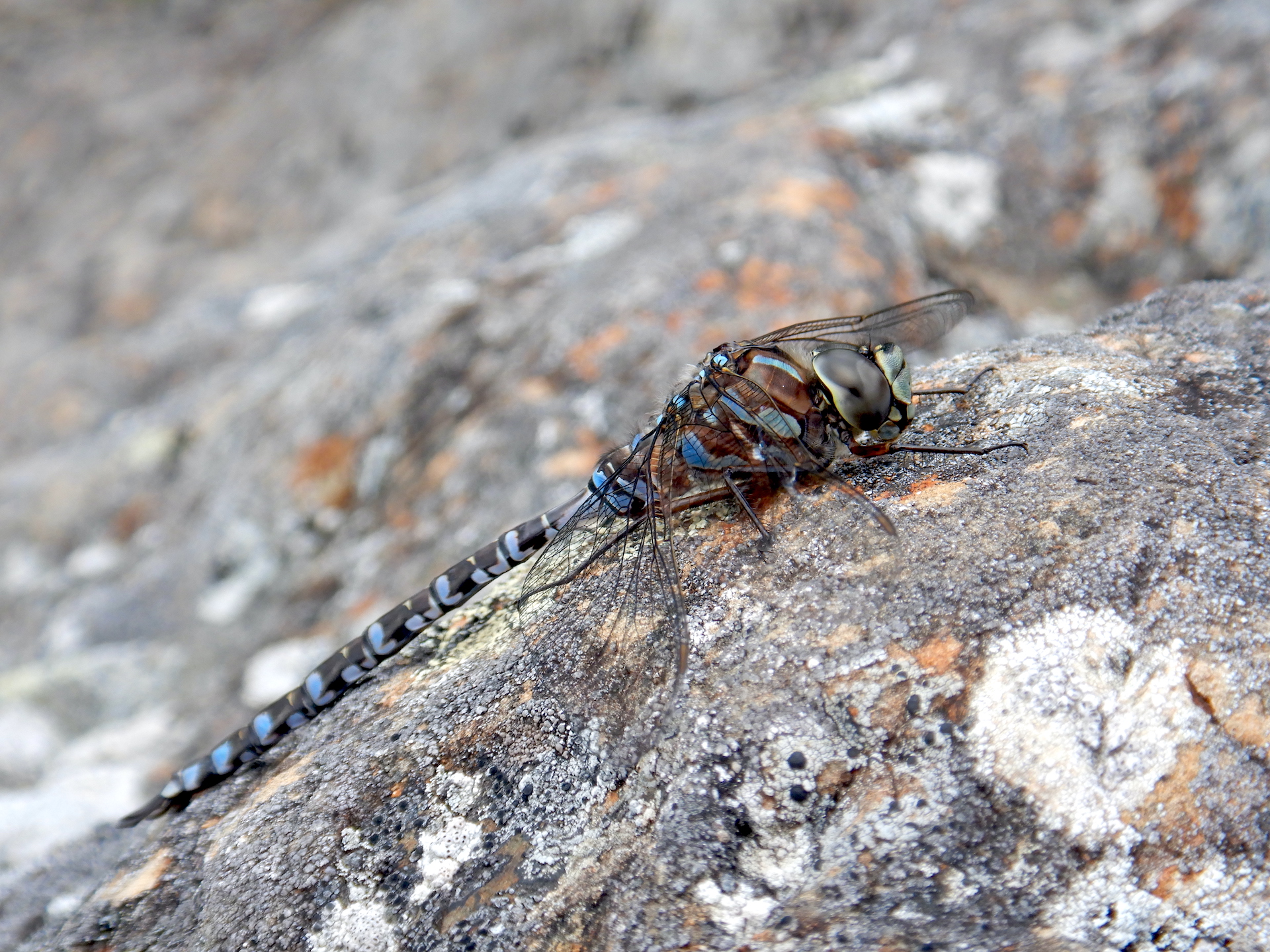
Most days I don’t see any mammals larger than a red squirrel. With some luck and good timing, though, I’ve seen black bears, moose, white-tailed deer, martens, fishers, ermines, voles, mice, and hares. A lynx passes through about once a winter; its presence revealed only by tracks in the snow. I’ve documented dozens of bird species using the forest to migrate, court mates, defend territories, and breed. I’m also learning that the habitats here support orders of magnitude more insects than I initially realized.
I greatly enjoy sharing this space with wild creatures, yet I rarely go to find something specific. The daily sojourn is my basic effort to let the world show me something. While the stories of wildlife change daily, it is the trees who are my constant companions. The organisms who1 breathe life into landscape, as well as the topography where their roots gather sustenance, record an evolving forest’s history of change.
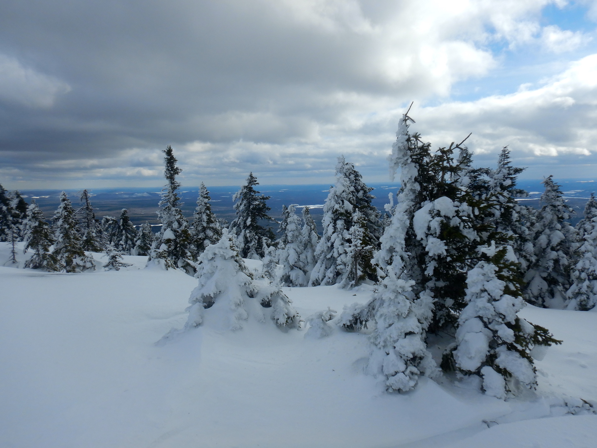
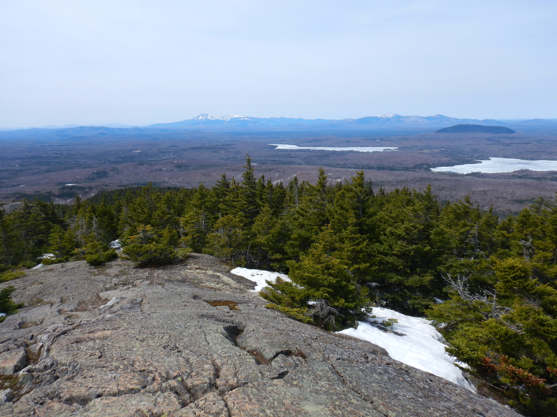
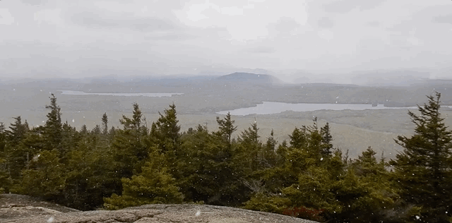
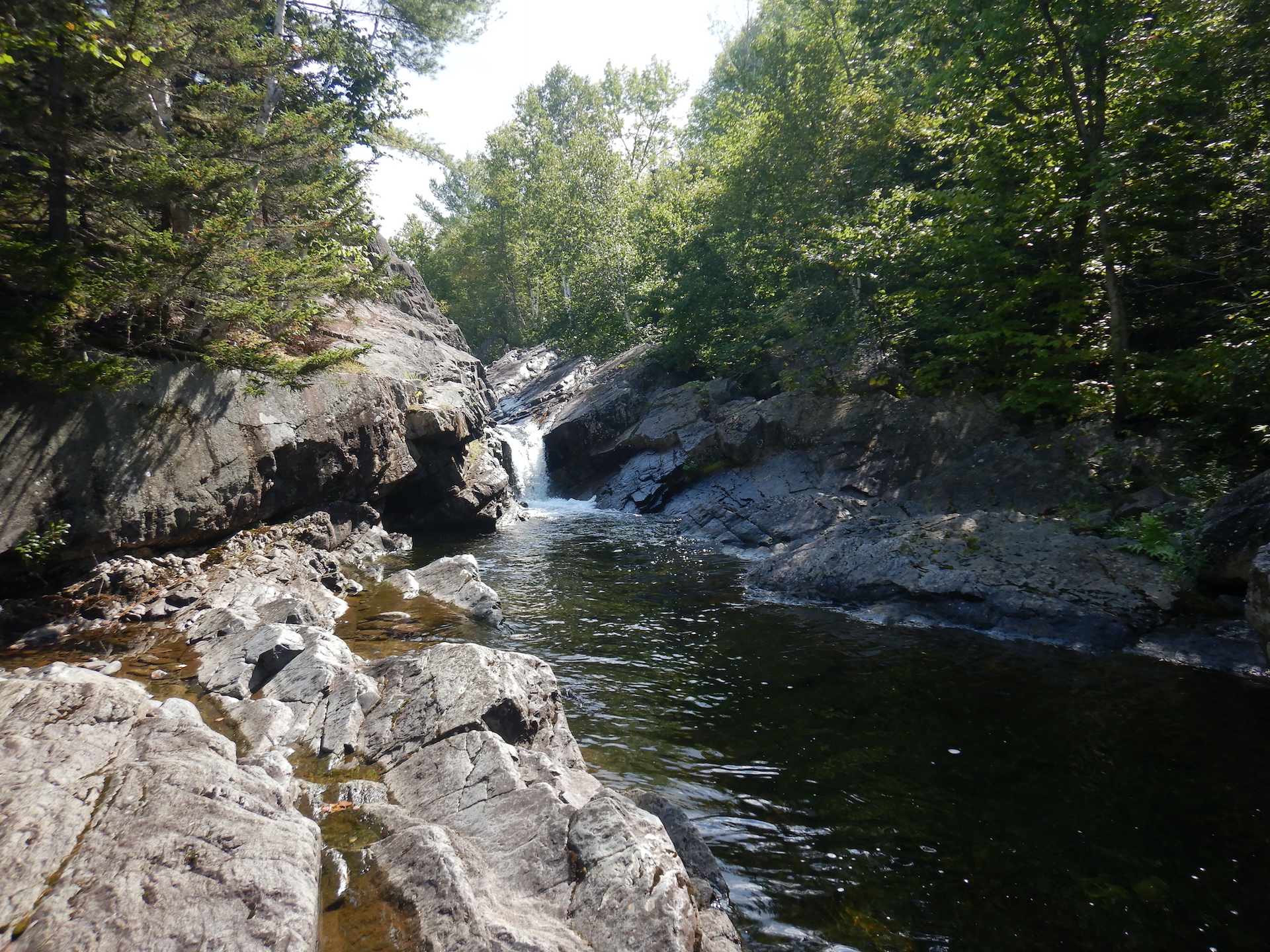
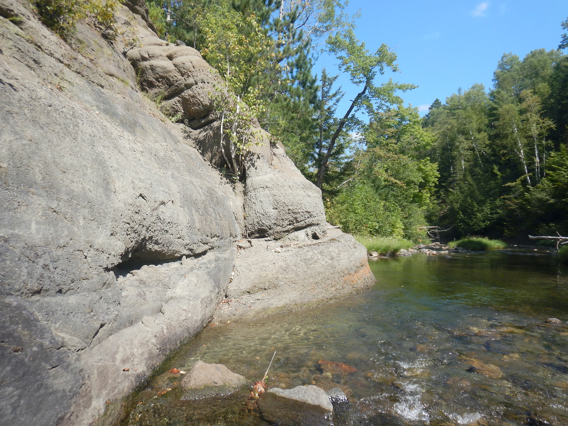
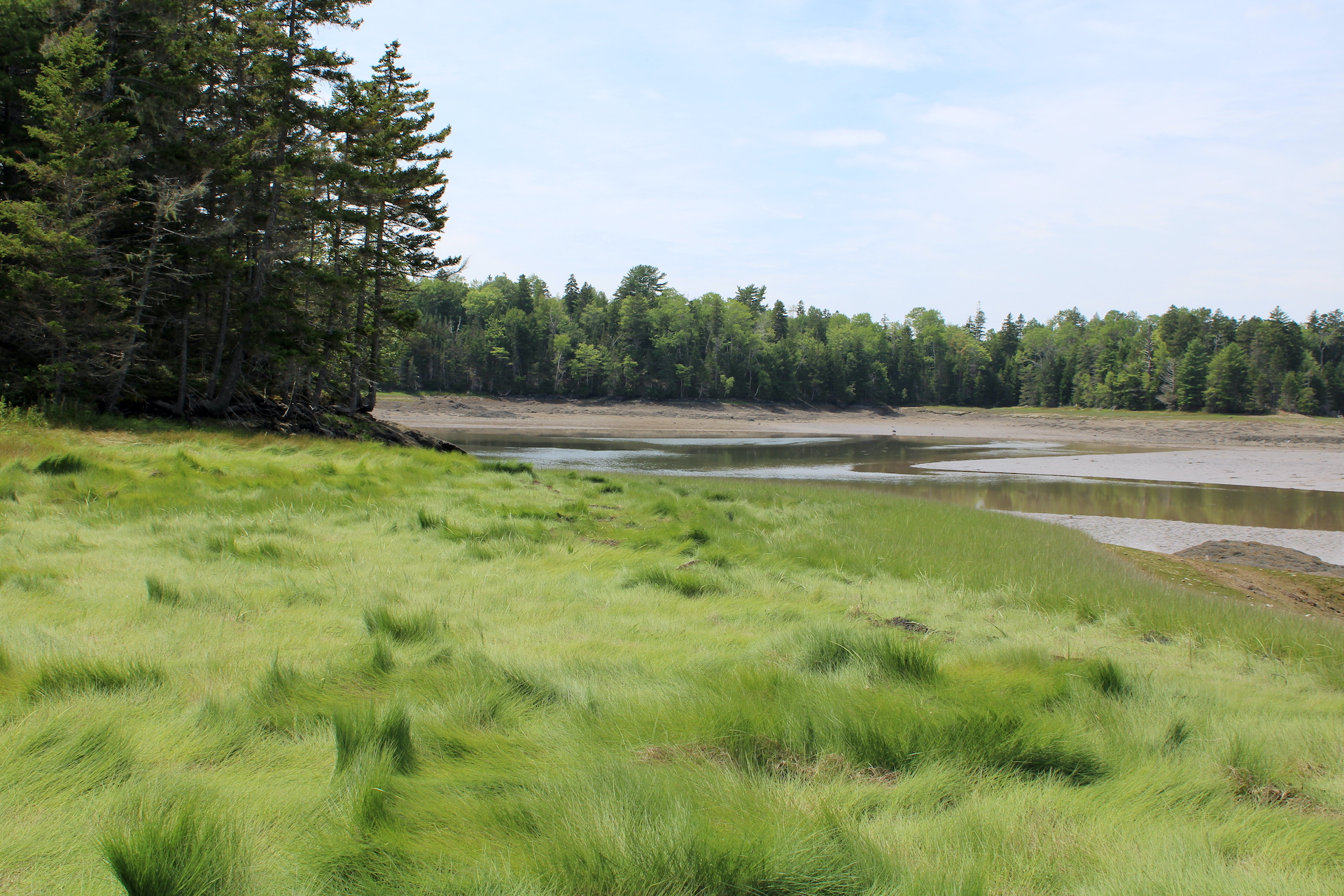
East of me, Katahdin and the Traveler Range loom over what was once a largely trackless landscape. Slightly closer to my home, the Penobscot River and its tributaries offer routes south to the Gulf of Maine or north to the Allagash, Aroostook, Saint John, and eventually the Saint Lawrence or Bay of Fundy if one knows where to portage.
While forests are never static—their structure and species composition are always in flux—industrial logging and settler-style agriculture drastically altered Maine during the last 200 years. Timber crews used the landscape’s climate and characteristics to their own advantage. Winter was the season for felling trees. Spring and summer were the seasons to drive the harvest downriver to mills and market.
When Henry David Thoreau first visited Maine in 1846, Bangor had already established itself as a major lumber port. As Thoreau moved upstream on the Penobscot to the Katahdin region, he passed through the frontline of settler land clearing. Near Mattawamkeag, a town named after a major Penobscot River tributary, Thoreau observed,
“The mode of clearing and planting is to fell the trees, and burn once what will burn, then cut them up into suitable lengths, roll into heaps, and burn again; then with a hoe, plant potatoes where you can come at the ground between the stumps and charred logs; for a first crop the ashes sufficing for manure, and no hoeing being necessary the first year. In the fall, cut, roll, and burn, again, and so on, till the land is cleared; and soon it is ready for grain, and to be laid down.” (Thoreau, The Maine Woods, pg. 16-17.)
Almost no place in Maine was spared the heavy-handedness of lumberman’s axe or the farmer’s plow. Those changes soon encroached on the land I call home.
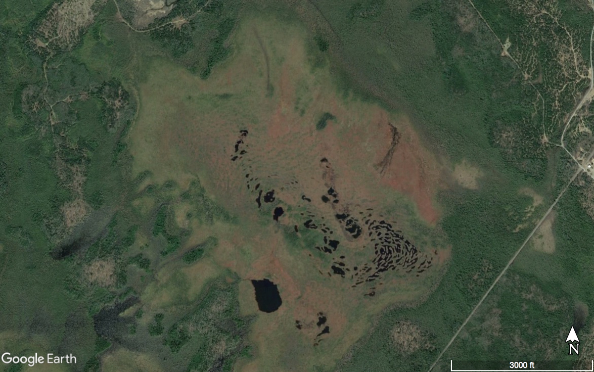
Land deeds for my home trace back to about 1890. The earliest of them cover a tract of about 160 acres (65 hectares). Lumbering almost certainly took the old growth trees prior to the 1900 allotment, but those records aren’t captured in the language of the deeds. Subsequent land sales subdivided the original parcel into many, which is partly how I find myself caretaker to about 15 acres, most of which grows trees who represent a rapid return to form for this place. I often think about this as I wander my trail or take an hour to sit under the greening canopy. Deeds record who owned the land. The documents don’t speak to how people depended on it or what they did to it, which is why I began reading into clues presented in stumps, soil, and the life that rebounds in the wake of disturbance and abandonment.
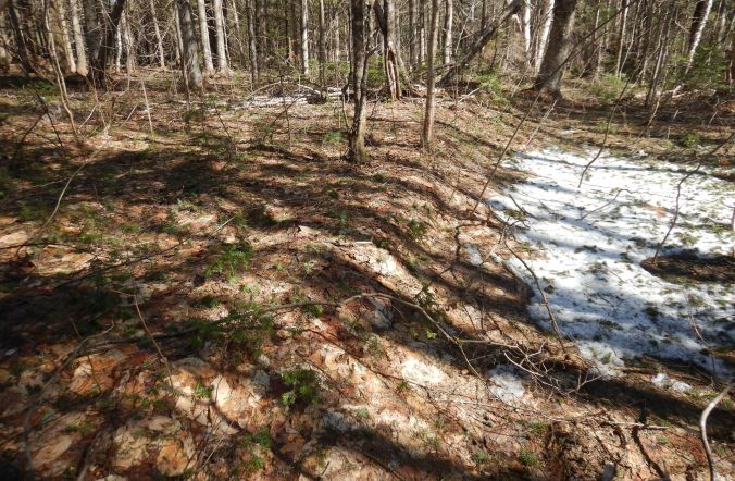
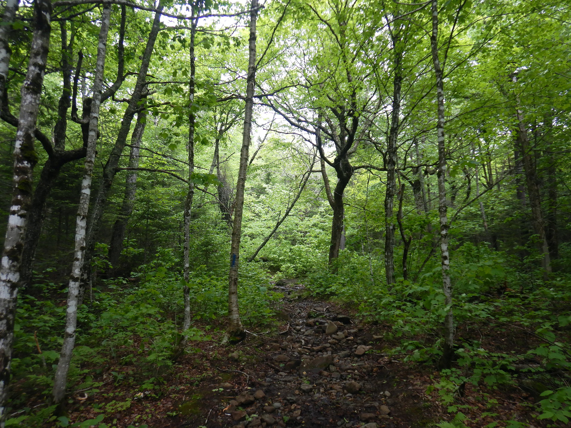
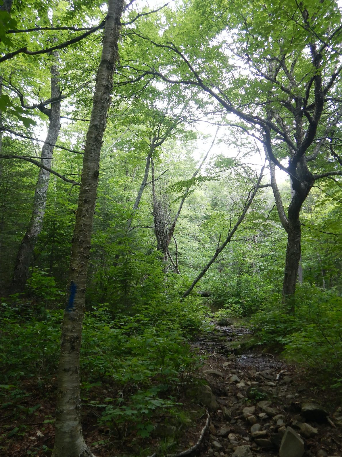
Middle spring in my nook of northern Maine is one of the best times of year to explore the forest. Yes, the ground is muddy and the vegetation has only begun to wake from dormancy, but with the year’s new leaves still tucked into swelling buds and the previous year’s leaves compacted by months of snowfall, visibility is as good as it will ever get.
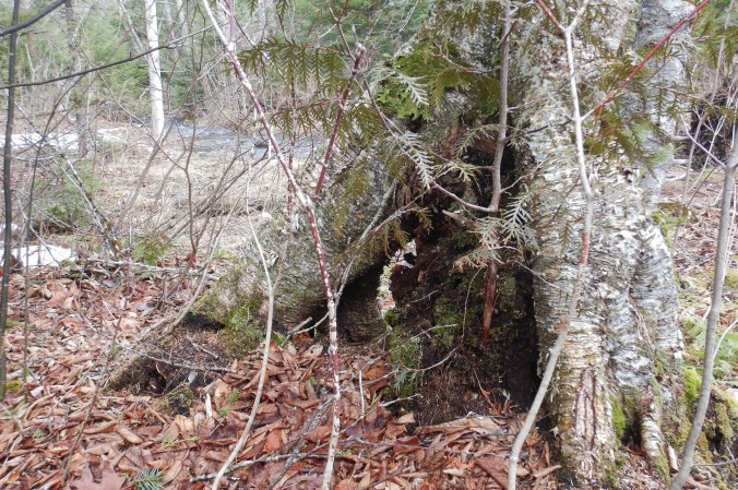
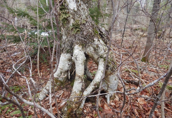
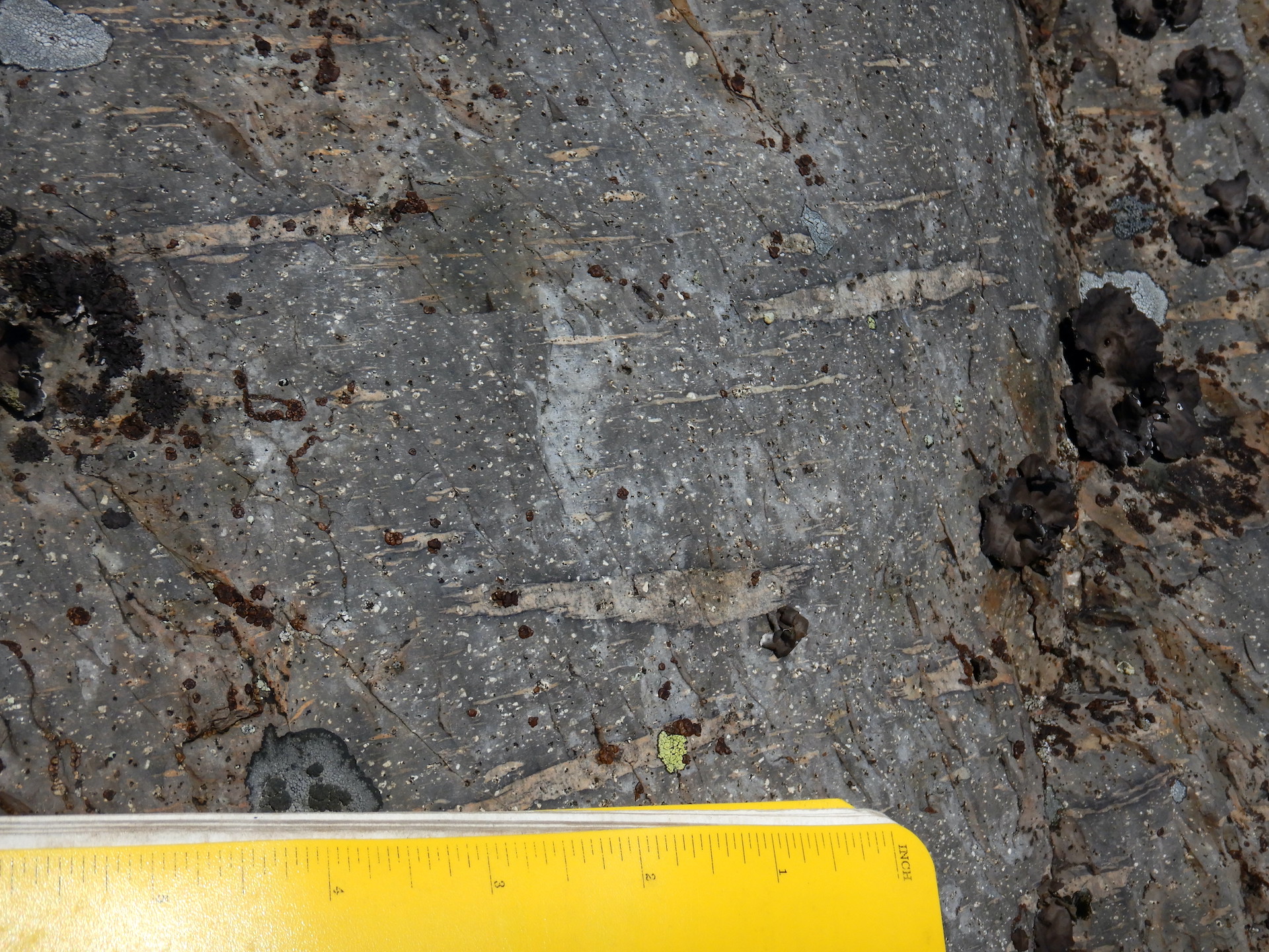
At the farthest north section of my acreage, the trees are composed mostly of maples, balsam fir, white spruce, paper and yellow birch, and white and black ash. The soils there are sloppy with year-round surface water. A gentle slope sheds the water east to a small stream. Inattentive footsteps result in boots filled with muck. The trees are young, though, and a few yellow birch appear to be walking on stilts. This growth form is not unique to this location but had long confused me when I was growing up in Pennsylvania. I couldn’t compute the cause of it. Had erosion undermined its roots? Was it a genetic anomaly, a virus, or something else? The answer is simpler and reveals a chapter in the story of past human activity.
According to the U.S. Forest Service in Silvics of North America, yellow birch is a prolific seed producer, dispersing 1-5 million seeds per acre in an average year and up to 36 million(!) per acre in a good year. Yet such profusion comes at a cost. The mother tree invests little energy in an individual seed, and much luck is needed if the fragile seedling is to survive. The reproductive strategy prioritizes abundance of offspring over energetic investment in individual offspring.
Most every birch seed is doomed. When fate brings a birch seed to leaf litter, which is likely, then germination is possible but survival is unlikely. A layer of dead leaves creates a barrier that the seedling’s roots and stem cannot pierce. Many die as the litter dries in summer’s heat or are smothered by the next layer of fallen leaves in autumn.
Forests are structured to offer seedlings more than one opportunity, though. Logs and stumps shed fallen leaves. Decaying wood sponges and holds water during dry weather. Tip-up mounds at the roots of wind toppled trees expose bare soil germination sites. Humans can contribute to these processes too. From the seed’s perspective, a rotting stump left by an ax or chainsaw simply another possible place to grow; another opportunity for survival.
Faint wheel tracks in the soft soil and a series of foot-high, well-rotted stumps reveal that someone decided to harvest small trees here many years ago. The stumps became a platform for a few birch seedlings above the more challenging conditions on the ground. The roots remained perched as the stump decayed underneath leaving a stilted root system to be admired.
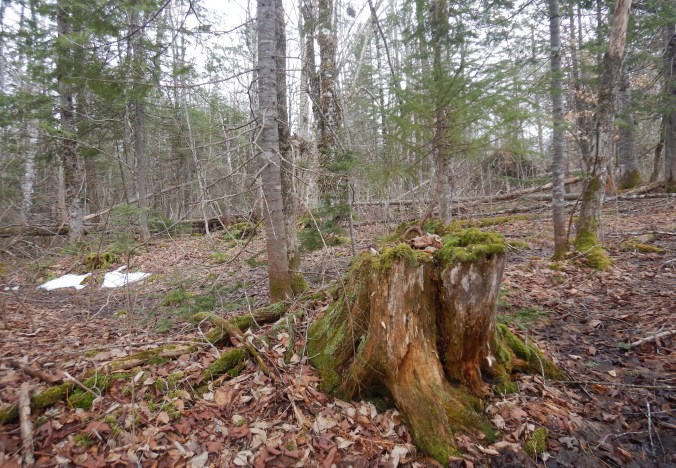
So I know that tree harvesting continued in the few decades after the first wave land clearing. A plow couldn’t have turned the soil here. The ground is too wet, but the stumps disappear as I walk south from the swampy soils even though I never leave the forest. A major difference is present in the plane of the land. Although sloping, it becomes smoother and lacks large stones and boulders on the surface.
Rocks are piled in mounds.
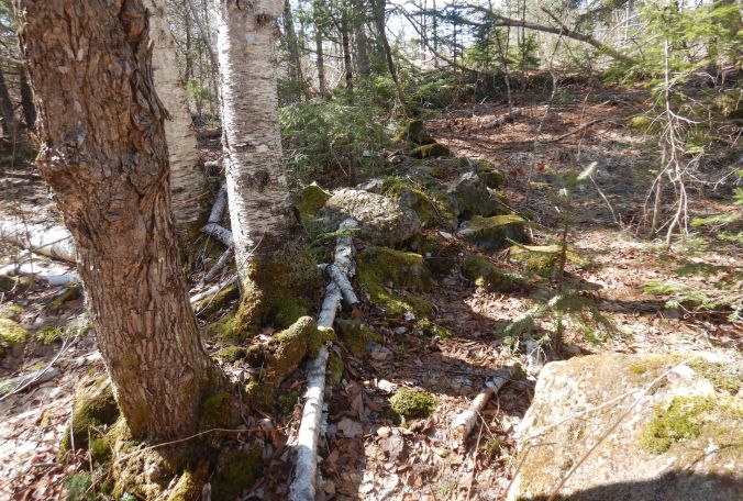
The smoothed ground also has an abrupt edge.
All of Maine was glaciated during the last ice age, and nearly all soils across the state are rocky due to the erosive and depositional power of the ice sheets. But glaciers don’t pile rocks in tidy, convenient piles, nor do they typically plane the surface of the land in such a smooth manner. A different force created these characteristics.
Imagine yourself as a farmer trying to plow soil. Rocks get in the way of this backbreaking labor, so you remove them into piles or build walls with them to outline fields and pasture. The work of plowing also tends to smooth out irregularities on the soils surface over time. Gravity assists with plowing and can result in a plow terrace forming on the downhill side of a cultivated field. The evidence I see suggests that I’ve walked from forest growing where plows never broke soil into forest growing on an abandoned field.
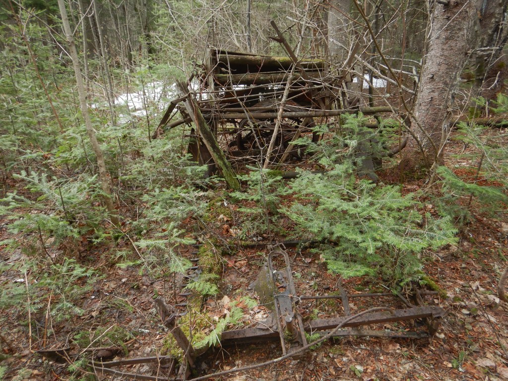
Was a farmer cultivating potatoes or another cash crop? Small farms in the early 1900s were far from homogeneous. Few of the stones in the rock dumps are fist-sized or smaller, however, which is another clue. The work of freeze-thaw cycles and plowing would bring small stones to the surface regularly, which would then have to be removed by hand lest they get in the way of plowing or, in the case of potatoes, harvesting. In Aroostook County, northeast of my home, farmers continue to remove rocks from their fields after 100 years or more of continuous potato harvests. Maybe this section of the farm was first modified by forest clearing, large rock removal, and plowing but not for potatoes. The terrace and an abandoned machine are silent witnesses to the work of the farmer.
Tucked at the very edge of the field-reverted-to-forest, a century-old machine rusts under the deep shade of spruce and fir. Upon first glance, it is a confusing mess of gears and sheet metal.
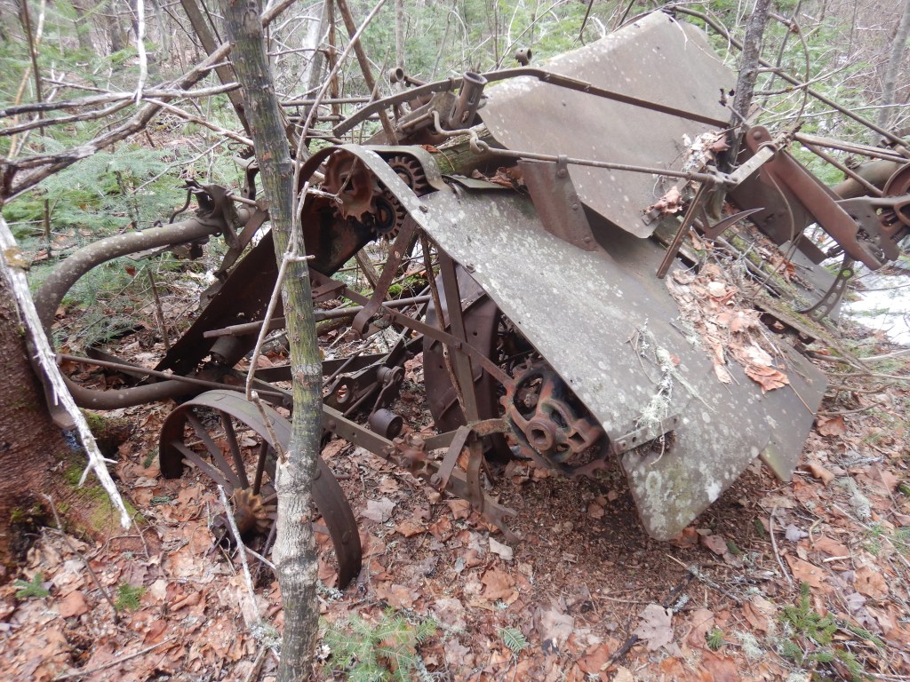
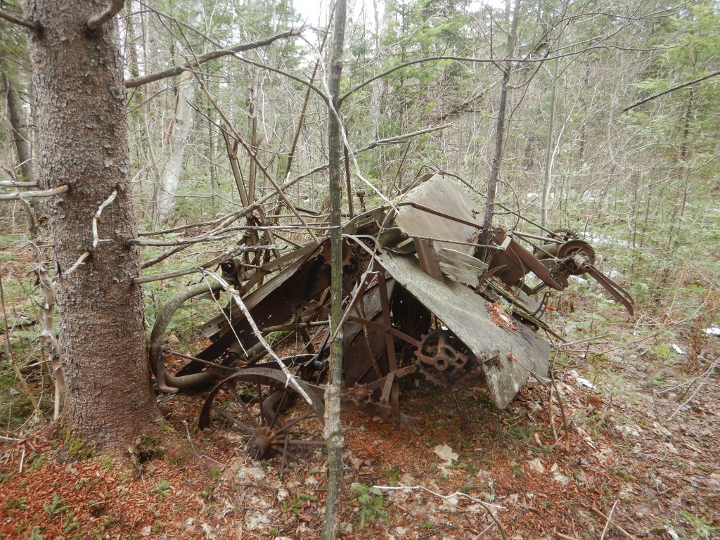
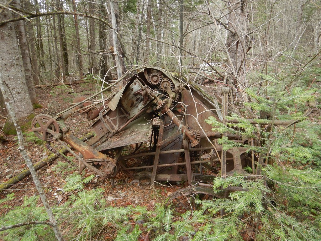
This, as far as I can tell, is a horse-drawn harvester and bailing machine. The operator sat in the rear. Horsepower turned the gears and blades. Grass was cut at the front, carried upward, then tied with twine. All automatic!
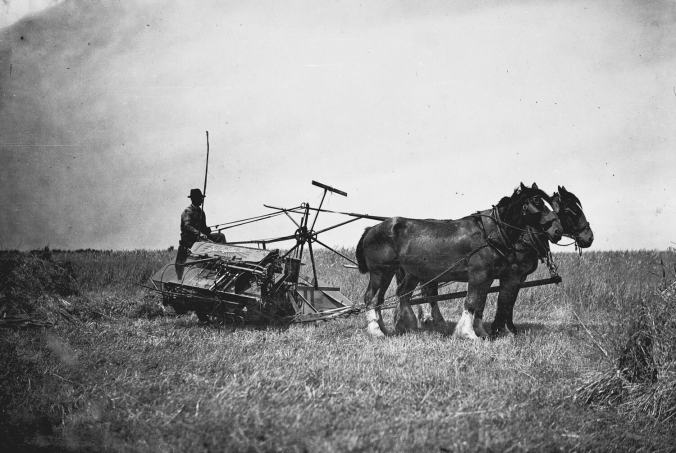
It must’ve been less labor to operate than using a scythe and binding your hay, grain, and straw by hand. Yet, this machine also looks amazingly hazardous—a device that leads to mangled fingers, limbs, and questions like, what happened to him? “Twas using a newfangled harvester. Told ‘im that’s a tricky device. Be careful, I said. He wasn’t. Now we call ‘im 7-Fingered Mike.”
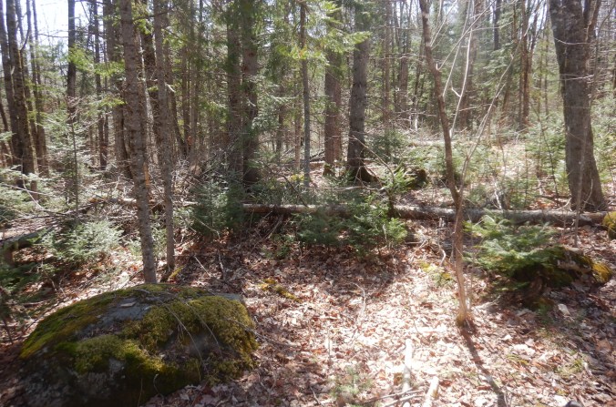
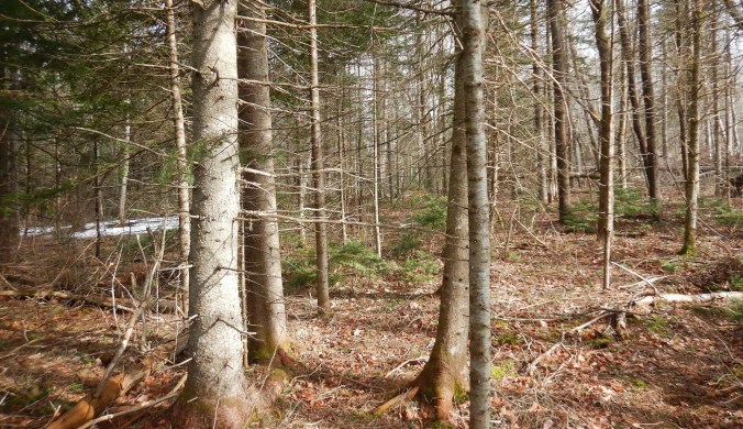
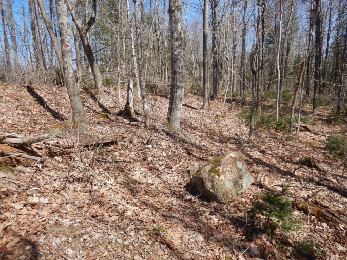
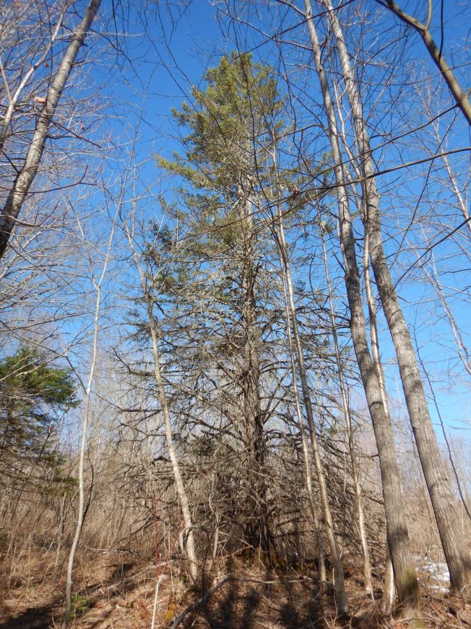
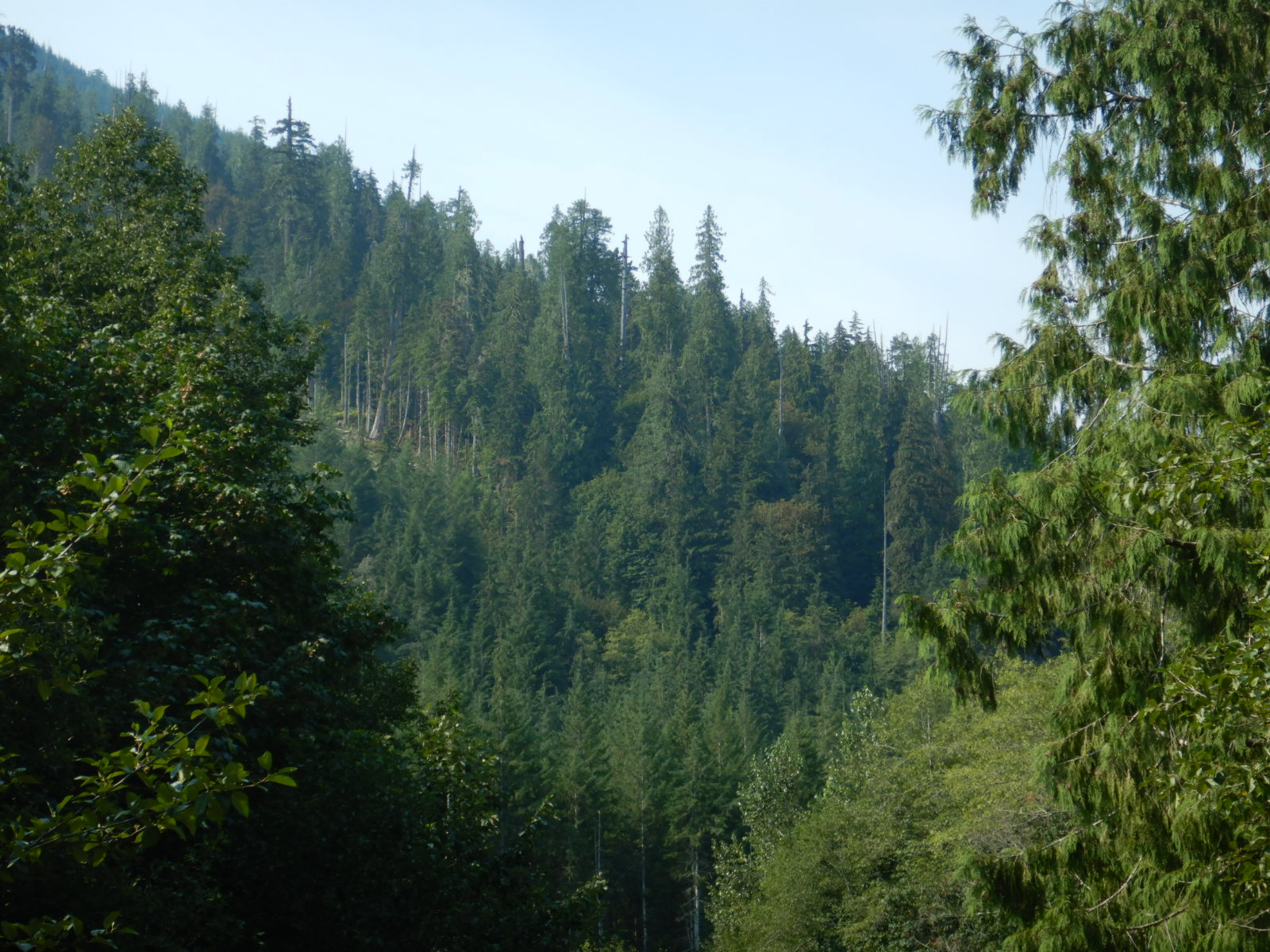
Walking further, I move onto topography that becomes immediately lumpy where the trail dips off the plow terrace. More than a few large rocks dot the surface, so this was never a cultivated or plowed field. The trees are the expected mix of conifers and broad-leaved species for the area—white spruce, balsam fir, white ash, red maple, sugar maple, striped maple, mountain maple, big tooth aspen, and white pine. In late spring, the spring ephemeral wildflower diversity in this little patch is higher here than anywhere else on the property.
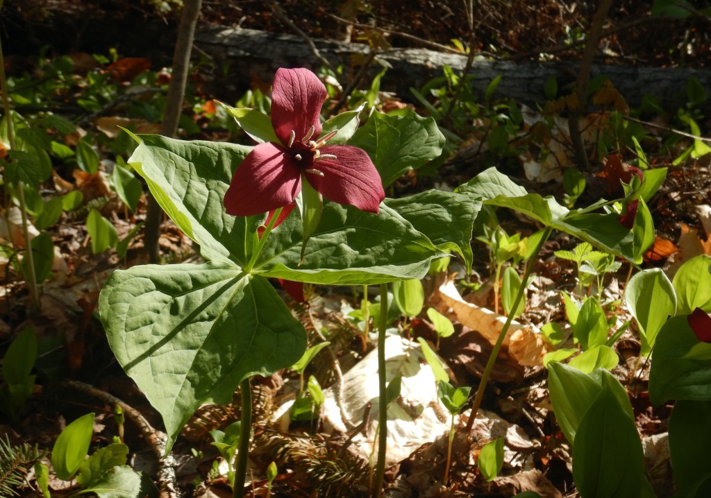
Springtime ephemeral wildflowers aren’t a botanical grouping.2 They come from a diverse suite of taxonomic plant orders and families. Their commonality, then, is in the timing of their flowering. A full canopy of summertime foliage intercepts most direct sun. What remains is a speckling of light and shadow, a sun-dappled place which restricts photosynthesis rates and stunts plant growth. Some shade-tolerant trees such as beech, sugar maple, and hemlock, for example, can spend decades as sapling-sized plants before a canopy gap forms above them and they grow upward to fill it.
Springtime ephemerals are herbaceous. They don’t have the ability to reach the canopy, so they utilize an annual, live-fast strategy. Their leaves, stems, and flowers emerge from dormancy early in the growing season, often when the night air remains frosty and well before bud break on the tree branches above. Their flush of green leaves and vibrant blossoms are a much welcome sight after a long winter.
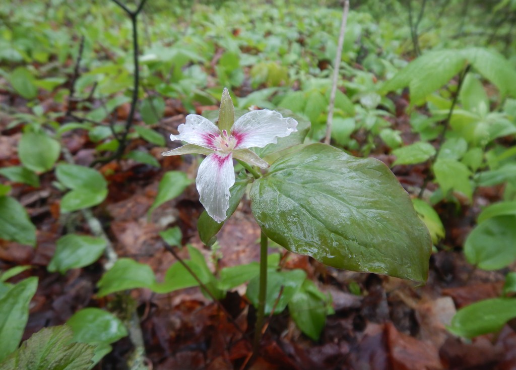
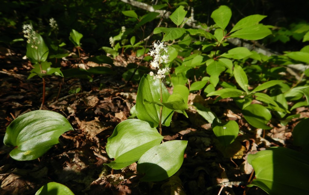
I suspect that the springtime wildflower diversity is highest off the the plow terrace, because those soils experienced less disturbance. The duff, the seedbed, and mycorrhizal associations were better preserved. The tree composition differs too from the formerly plowed areas. Balsam fir and aspens predominate upslope of the plow terrace. Their seedlings establish rapidly in open conditions as long as soil moisture is adequate. Fir and aspen grow downslope as well but alongside more maple and ash. Coupled with the well-drained nature of the east-dipping hillside, the tender May and June flowers can thrive. I tread lightly in their company.
As I continue south, the soils become wet again and the vegetation, both in species composition and structure, changes dramatically. The contrast is stark.
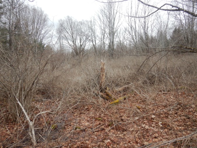
Bush or Morrow’s honeysuckle (Lonicera morrowii) is an introduced, yet common understory shrub on the landscape surrounding my home. It grows with such vigor and at such densities that even I, someone who enjoys a good bushwhack, avoid it. Without the benefit of a trail, you’re sometimes forced to move on top of the thickest stems, which is a strategy that succeeds for a few feet before gravity wins and the brittle wood buckles under your weight. Relatively few trees rise above the honeysuckle compared to the surrounding forest. The thickets contain almost no springtime ephemerals, but they do harbor a scattering of multi-trunked apple trees. It’s hard not to wonder why this plant community grows as it does when you struggle to move through it.
Both the apple trees and the honeysuckle’s density are clues in their own right. Both are introduced species in North America. Both grow best in full sunlight, and the honeysuckle establishes best in disturbed soils. Almost all the apple trees are multi-stemmed. They are different sizes, spaced irregularly, and each grows a different variety of fruit. I sample them as much as I can in September and October. The timing of ripeness and the taste of the apples vary widely on different trees. One tree has such bitter fruits that even my very omnivorous dog ignores them. These qualities suggest that the apples were not planted as part of an orchard.
One honeysuckle thicket also borders a prominent, east-west trending rock wall. Rock walls, like rock dumps, weren’t accidental constructions. They were frequently built on the edge of fields. If the field was a harvested annual crop, then the rock wall became a convenient area to dispose of bothersome stones. Walls and fences can also be used to keep things inside their boundaries.
A muddy overgrown two-track trail can be followed to and from the honeysuckle thickets, suggesting that vehicles traveled this way with enough regularity to leave a lasting footprint. I’ve also pulled remnants of split rail fencing out of the leaf litter along the rock wall. The posts and rails appear to be made from northern white cedar, which produces perhaps the most decay resistant wood of any forest tree in the area. Fences can serve an aesthetic need, of course, although I doubt this was the fence’s sole purpose. I suspect the farmer built it for livestock, perhaps sheep or pigs.
If the fence kept livestock in, if their hooves turned the soil, if their grazing or rooting prevented most trees from growing, if the farmer had to transport feed to fenced-in livestock, if their manure contained apple and honeysuckle seeds, and if their sudden disappearance allowed apple and honeysuckle seeds to germinate and grow without competition, then old pasture is a likely explanation for the enduring thickets.
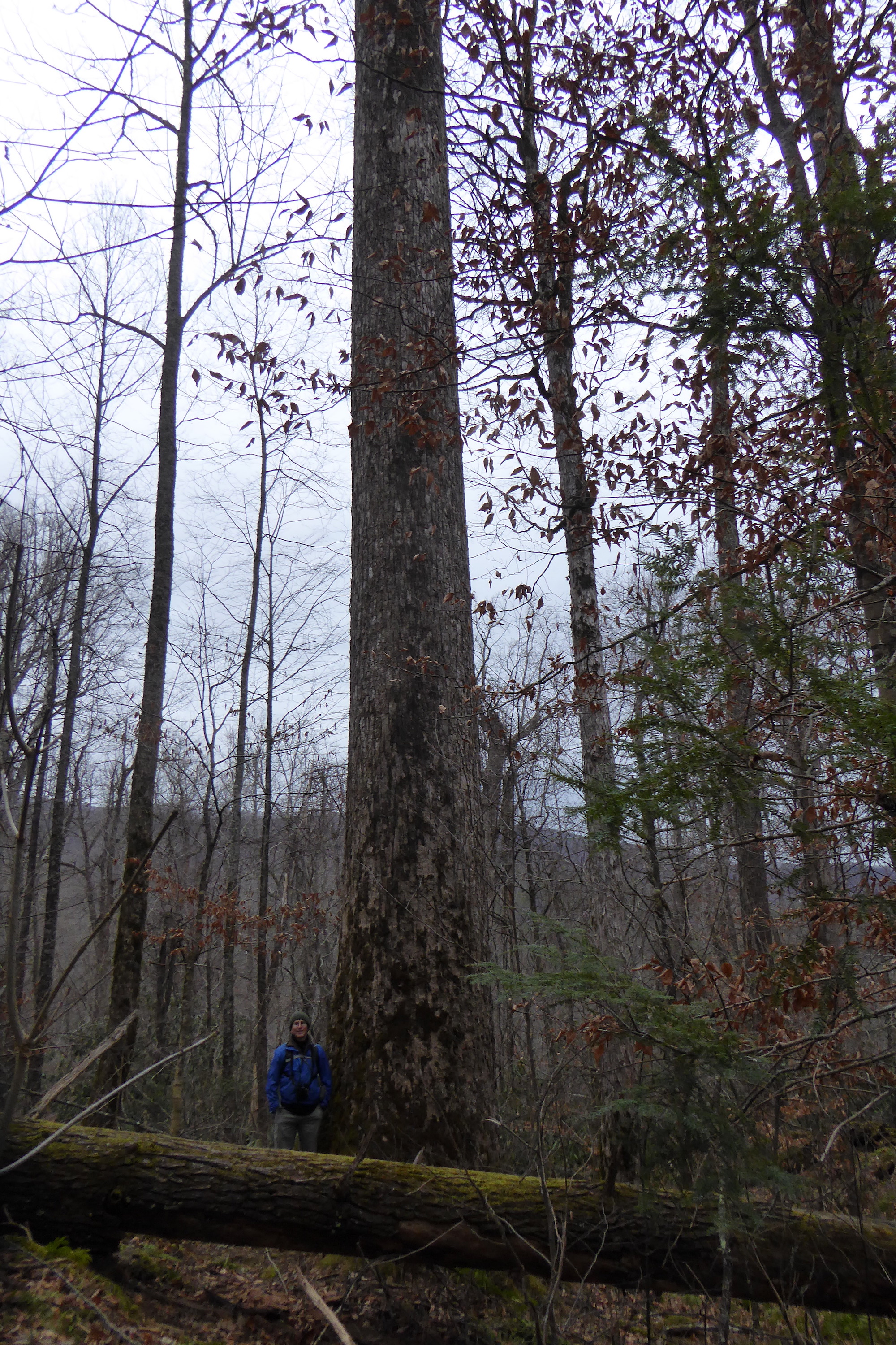
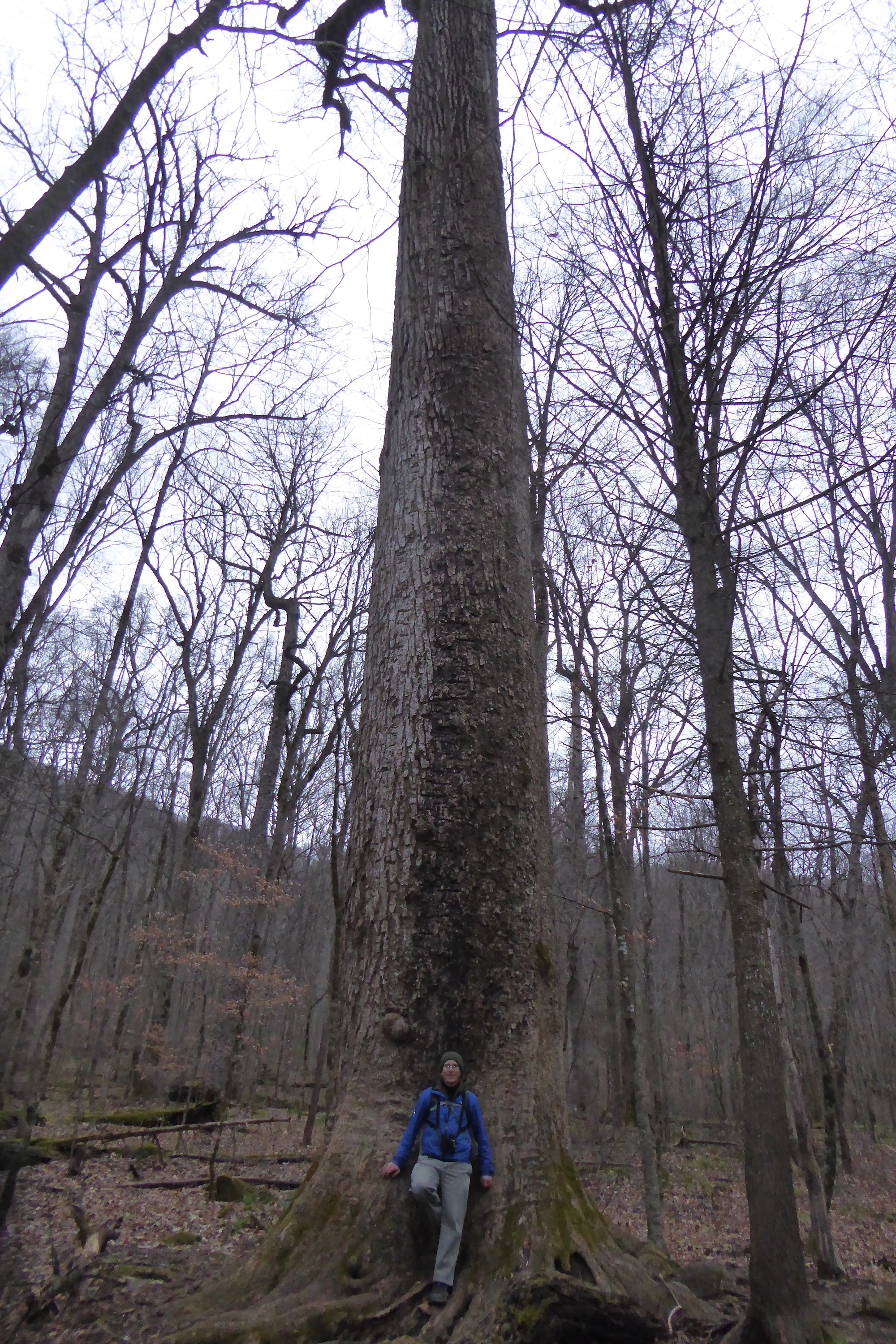
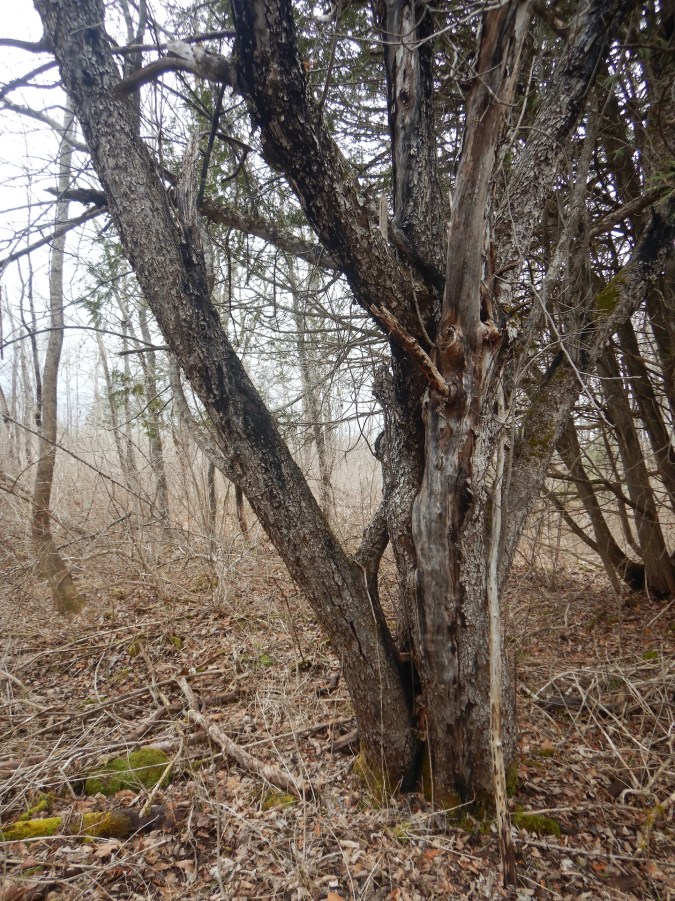
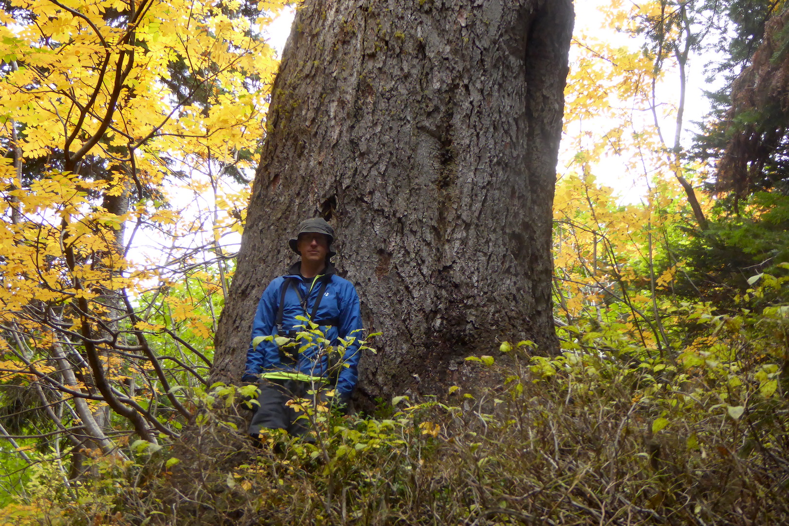
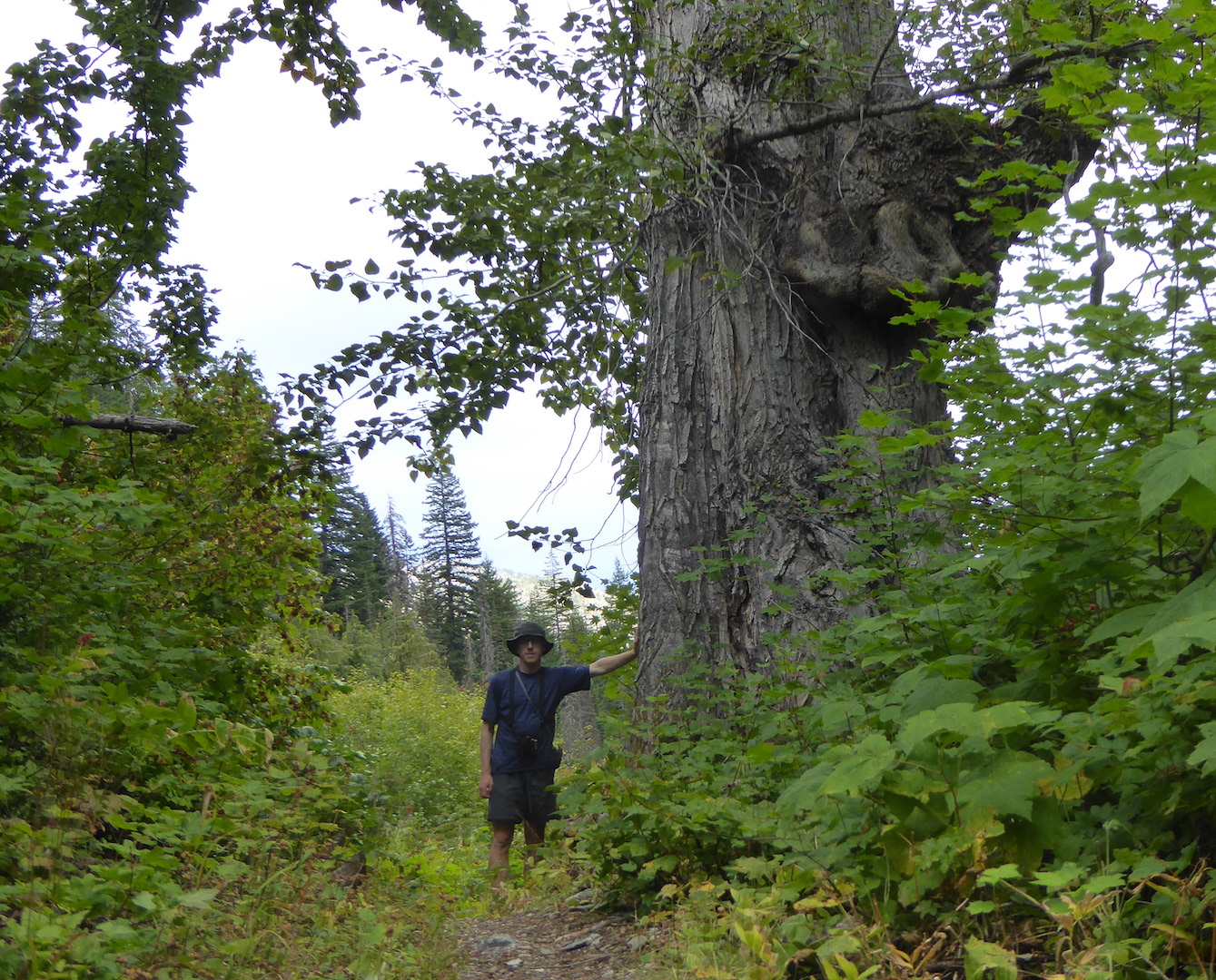
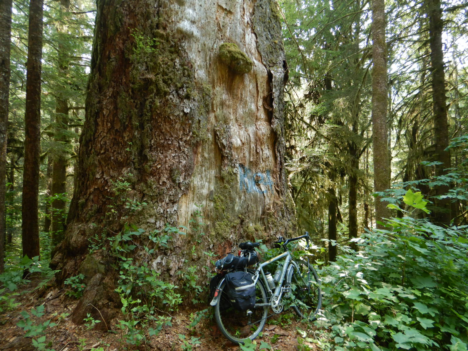
That’s a lot of ifs, I understand, but nearby trees offer an additional set of clues that point toward pasture rather than cropland. A large yellow birch along the rock wall has a silhouette unlike those in the surrounding forest.
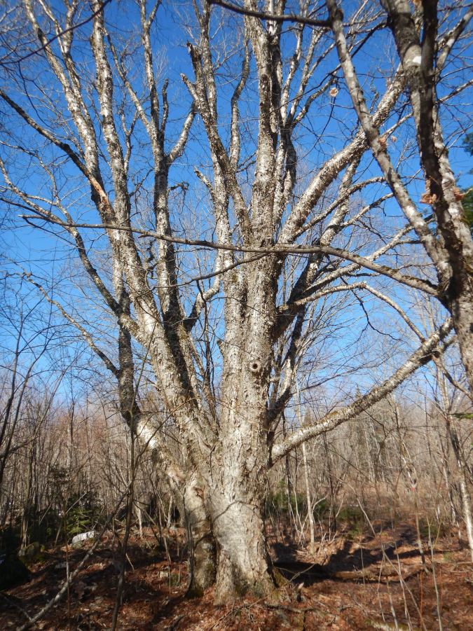
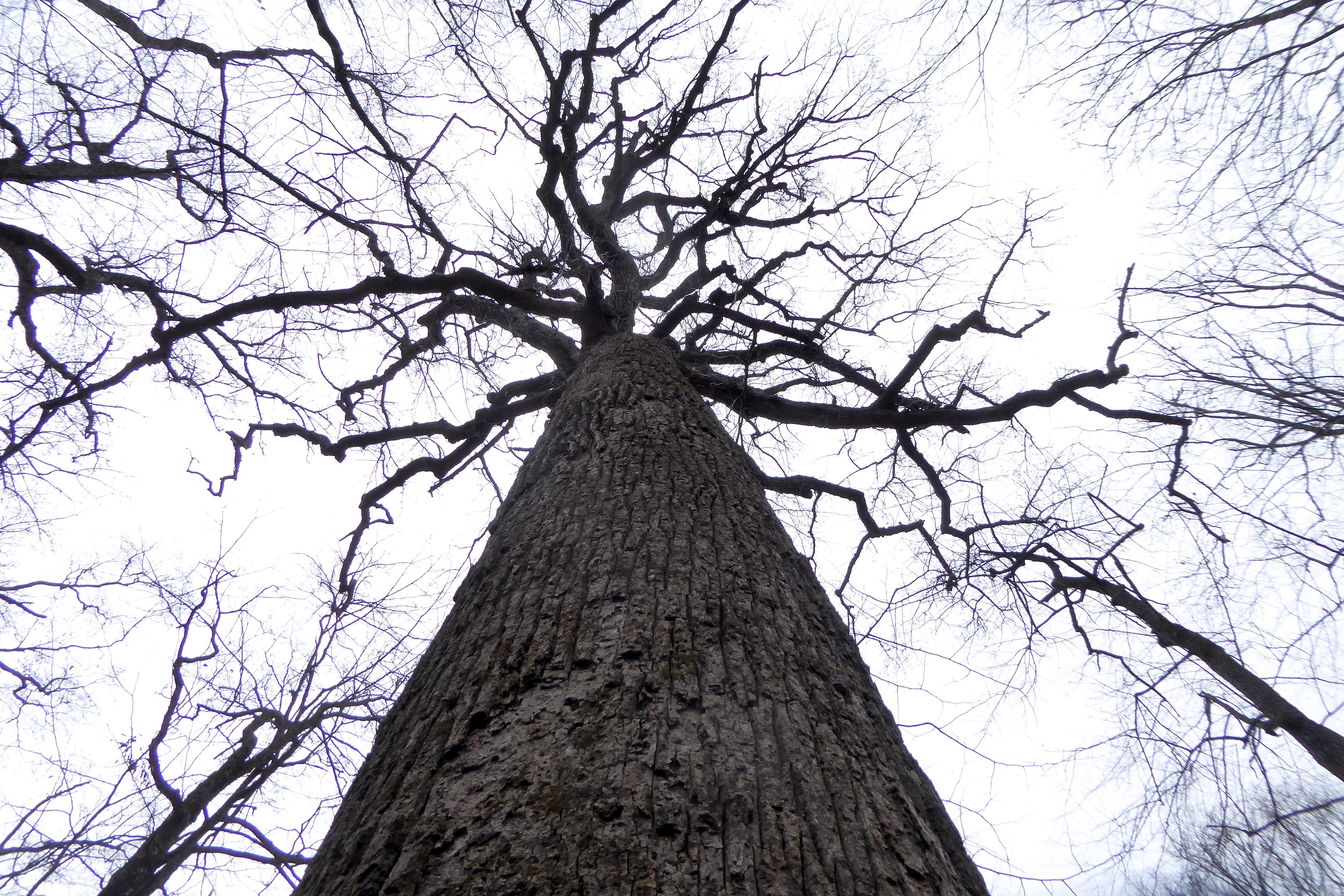
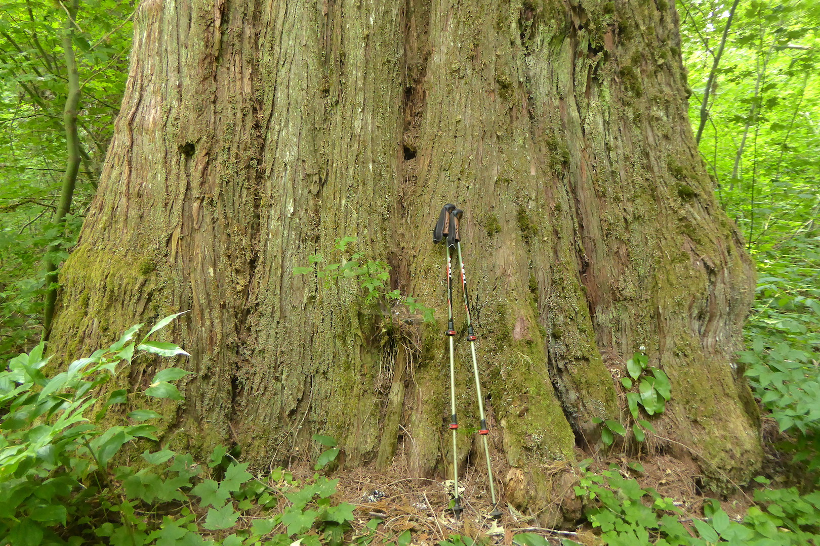
This birch has the largest diameter trunk of any tree on the property. At chest height, its two fused trunks stretch approximately 50-60 inches (127-152 cm) wide. Its branches spread across a 30-foot (9-meter) diameter, which is far greater than the other trees nearby. In fact, no other nearby trees come close to matching this birch’s size.
Only trees who grow in open areas achieve this architecture. Trees growing among other trees are usually forced to compete for access to sunlight. For them, growing tall rather than spreading wide is the more lucrative long term strategy.3
The large yellow birch has its feet within the rock wall, and it may have sprouted not long after the wall was constructed. A white spruce with a similar open growth form occupies the honeysuckle thicket too. The farmer might’ve let the birch grow along the rock wall if the thicket area was cropland, but I doubt he would’ve tolerated the white spruce shading a large part of a plowed field or haying meadow. The trees could’ve, though, provided valuable shade and shelter for livestock and left to grow within a pasture.
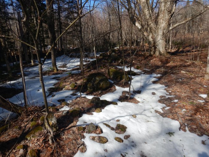
When were the fields and pastures last worked? When were they allowed to go fallow? None of the trees on the land are especially old, not even the aforementioned yellow birch along the wall, Wandering across the adjacent properties, which were once part of the farm, I’ve found that the forest is fairly consistent in its age and structure. The canopy is roughly the same height everywhere, and trees tend to be about the same size. The fields extended west of me to the top of a gentle hill where stone walls mark the boundaries of other former fields. But subdivisions and different landowners lead to different visions for the land and its non-human occupants. This is where the disturbance history of my parcel and the neighbors’ begin to diverge.
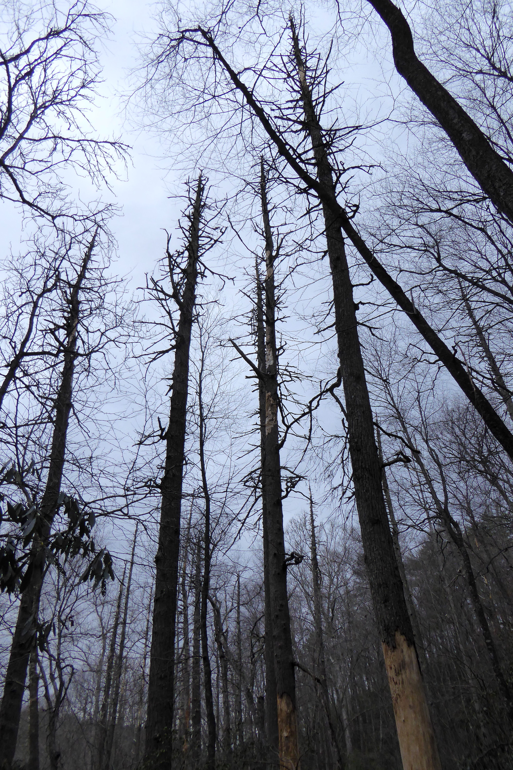
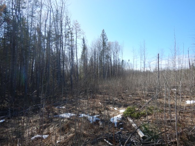
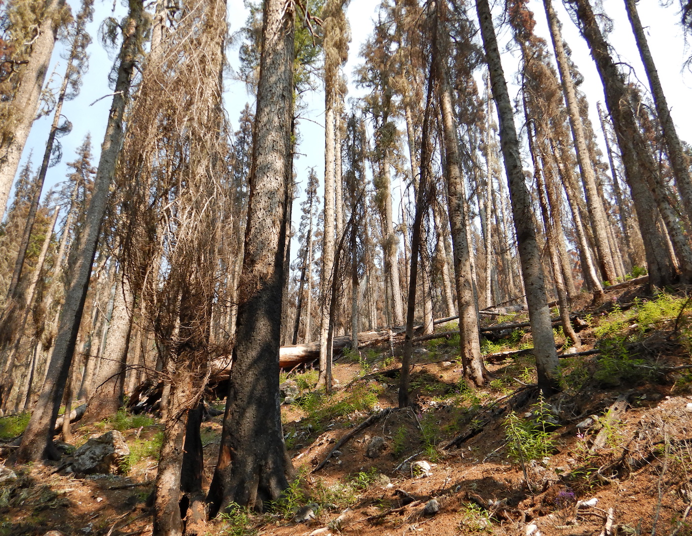
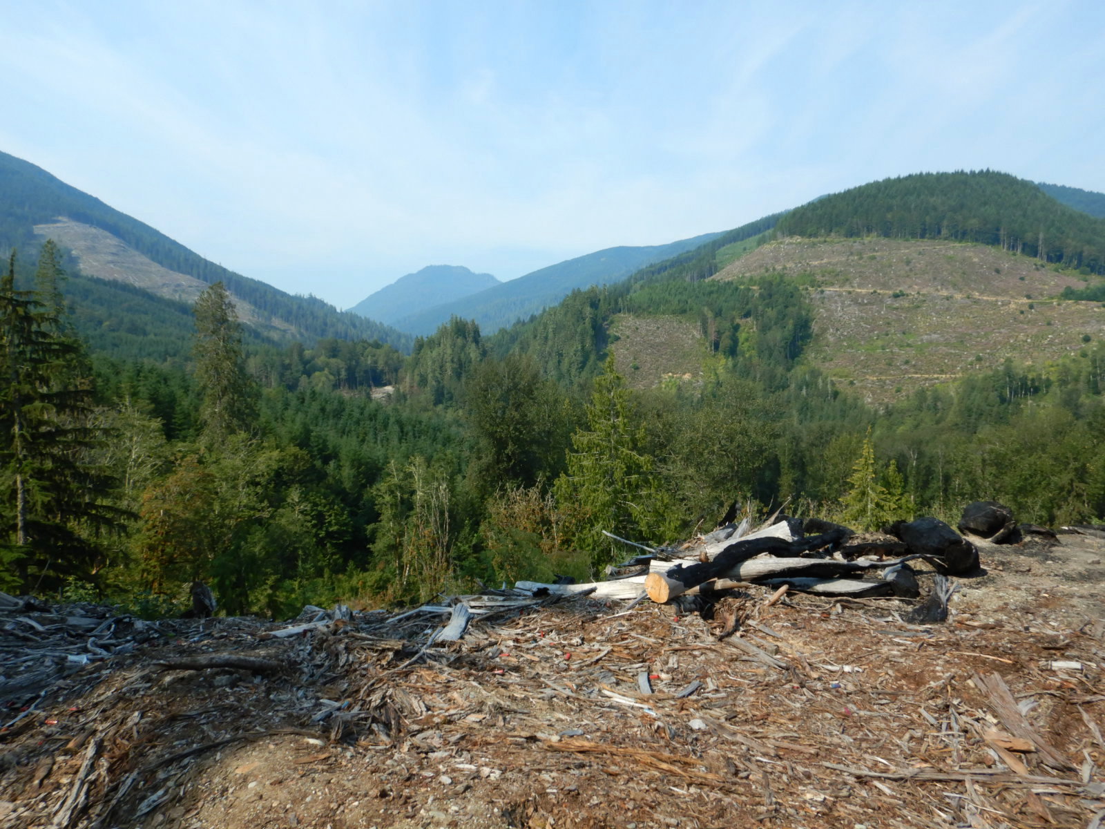
In summer 2020, a logging company harvested trees on the property that borders the west side of my forest. They weren’t selective, taking trees that were barely 12 inches in diameter at stump height and leaving few standing trees. There’s a wide variety of tree harvesting strategies employed in Maine, but this appeared to be one of the less sustainable approaches. That is, unless the goal was to maximize profit and create a poplar thicket in your wake.
The timber harvest, despite my criticism of the methods, granted me an opportunity to investigate when trees began to reclaim the land, because the adjacent cutover acres were part of the plowed field. I counted growth rings on several stumps. All had about 50 growth rings or fewer. Many trees remain small for several years after sprouting before they gain enough height to lay down growth rings that would be visible in a stump. So, maybe a farmer last cut hay from the field 60 years ago.
Sixty years isn’t a long time for most trees. Even photosynthesizing rock stars like balsam fir and aspen, species who tend to live fast and die young, can have much longer lifespans, but the forces of time, age, and weather never cease. They’ve already begun to take their toll on the regenerating forest. A few trees topple in the wind every year, which is fine with me and, I’m sure, the forest. I use a few trees for firewood and leave most to return to the earth. Their bodies will create structure and habitat for wildlife. They’ll be colonized by insects and fungi. They’ll enrich the surrounding soil and increase its carbon and water-storing capacity. In death, they’ll be filled with more life than when they were alive.
Although the specific details differ, this farm-to-forest story is not unique. Statistics buried on page 14 of Maine’s 2025 State Wildlife Action Plan reveal how common the reversion from farm to forest has been: “By 1880, approximately 34% of Maine was cleared for farming, but that pattern reversed dramatically via reforestation during the 1900s. By 1997, only 6% of the state’s land area was in agricultural use.” The return to a largely forested landscape has been even more pronounced in other parts of the Northeast U.S. You can find it nearly anywhere you go from Pennsylvania north.
Older forest stands, which I define as those with a high proportion of trees greater than 100 years of age, remain uncommon in Northern Maine, however. The landscape is often cut over, even after the collapse of the region’s paper industry. If I’m able to care for my forest over the next few decades, then it will form one of the area’s older stands. Perhaps that will be my stamp on a forever changing plot of land.
FOR FURTHER READING:
Anyone interested in teasing out the land use history of their home or community should consult Reading the Forested Landscape: A Natural History of New England4 by Tom Wessels. This was a formative book for me when I first attempted to understand the influences and relationships that people have on ecosystems. I still have the original copy I purchased in college. The book focuses on the Northeast U.S., although many of the techniques in it could apply to other regions.
- Grammatically “who” was traditionally reserved for people (the esteemed naturalist, Mike, who…), while “that” was used for non-human organisms (the trees that…; the owl that…). I think the old who vs. that rule needs to die. Restricting who for humans is an othering of non-human life. It is one of the many, almost unconscious micro-aggressions we make toward other organisms. ↩︎
- Neither are trees, BTW; a tree is a particular growth form achieved by certain woody plants no matter if they are coniferous, deciduous, evergreen, broad-leaved, needle-leaved, produce annual growth rings, lack annual rings, or something else. ↩︎
- For the record, I’ve seen no evidence that trees care at all about their appearance. Possessing the adaptability to survive local conditions is far more important and explains why trees are so plastic in their growth forms. ↩︎
- Published by Countryman Press. Know any other good books from that publisher? ↩︎


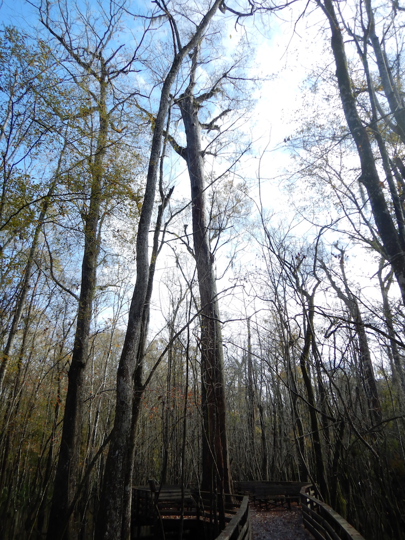
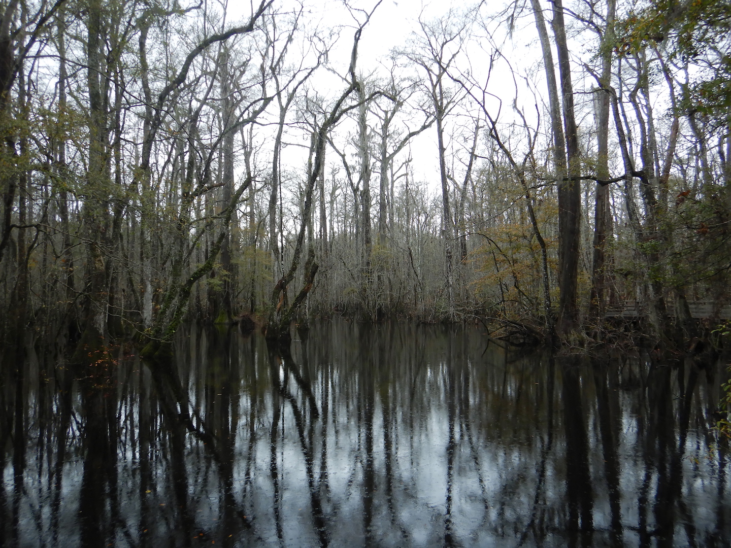 Bald cypress swamps experience seasonal flooding, and when I visited in mid December the forest was covered in a blanket of tea-colored water stained brown by tannins. The day was relatively warm and temperatures reached above 60˚ F. A few turtles and snakes took the opportunity to climb out of the water and sun themselves on fallen logs. My attention, however, was consistently drawn to the canopy and the craggy tops of centuries- and millennium-old bald cypress trees.
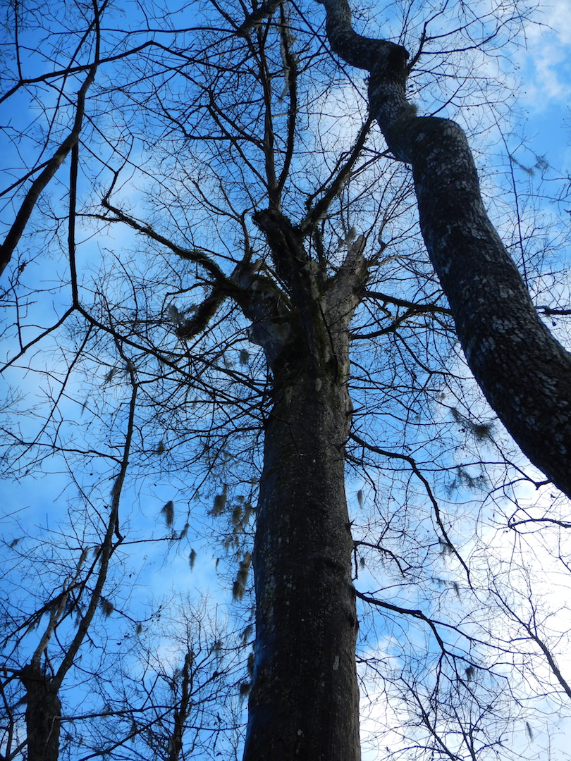 Bald cypress is one of the longest-lived trees in North America and
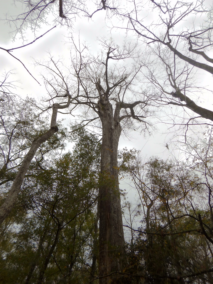
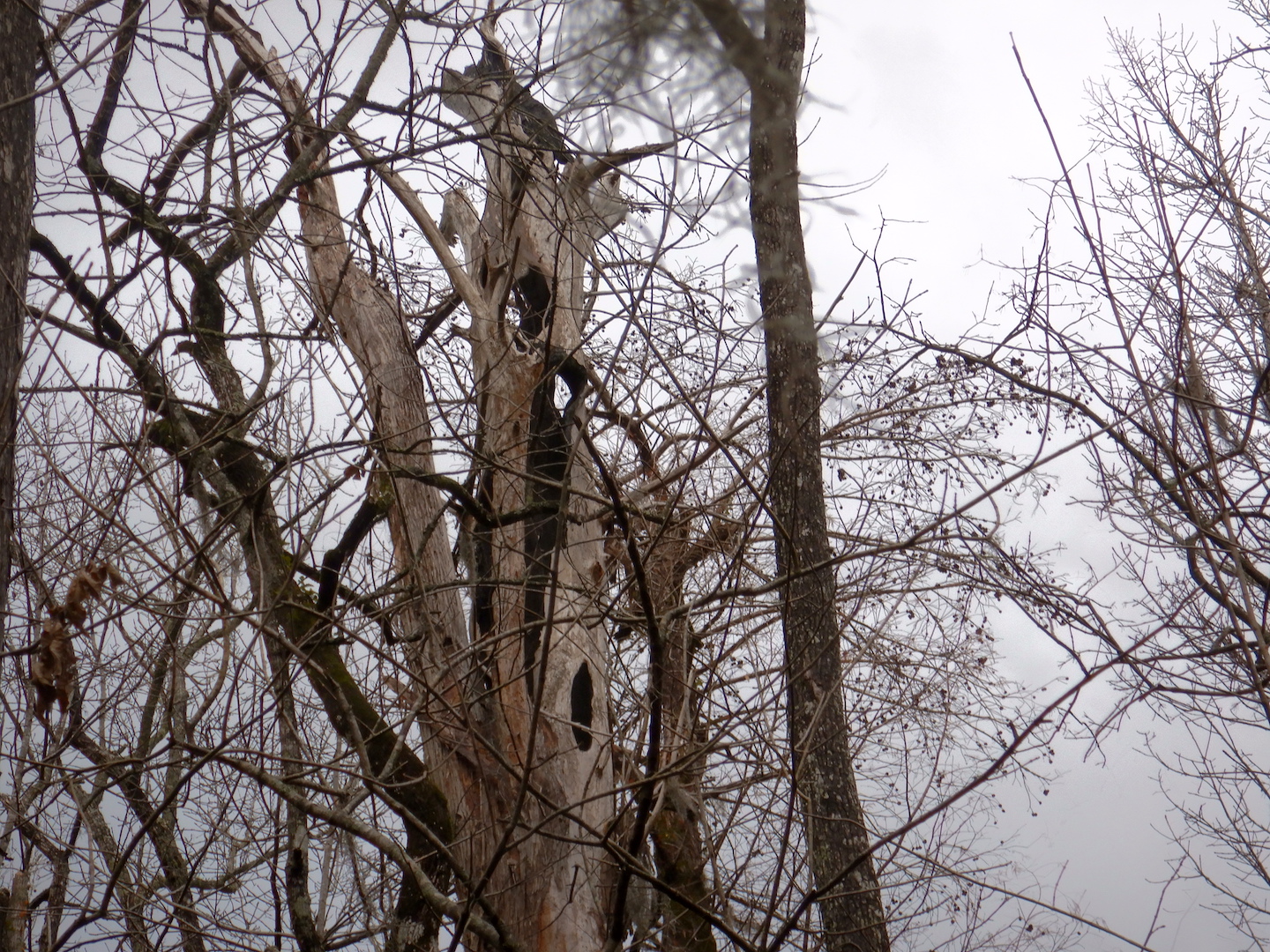
 When you live to be over 1,000 years old you’re bound to acquire a scar or two. Reaching over 100 feet high, each bald cypress carries a legacy of the battles with insects, fire, and severe weather like thunderstorms, tornados, and hurricanes.
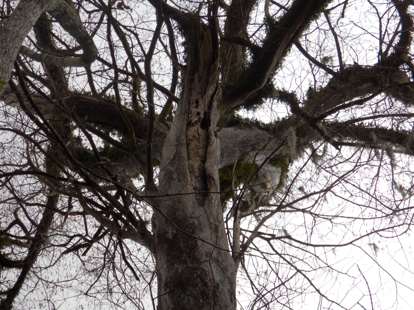


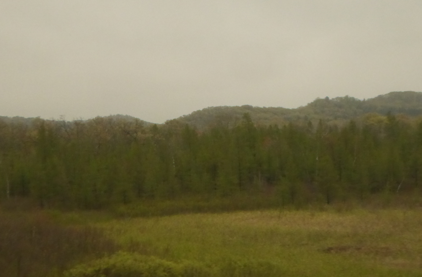
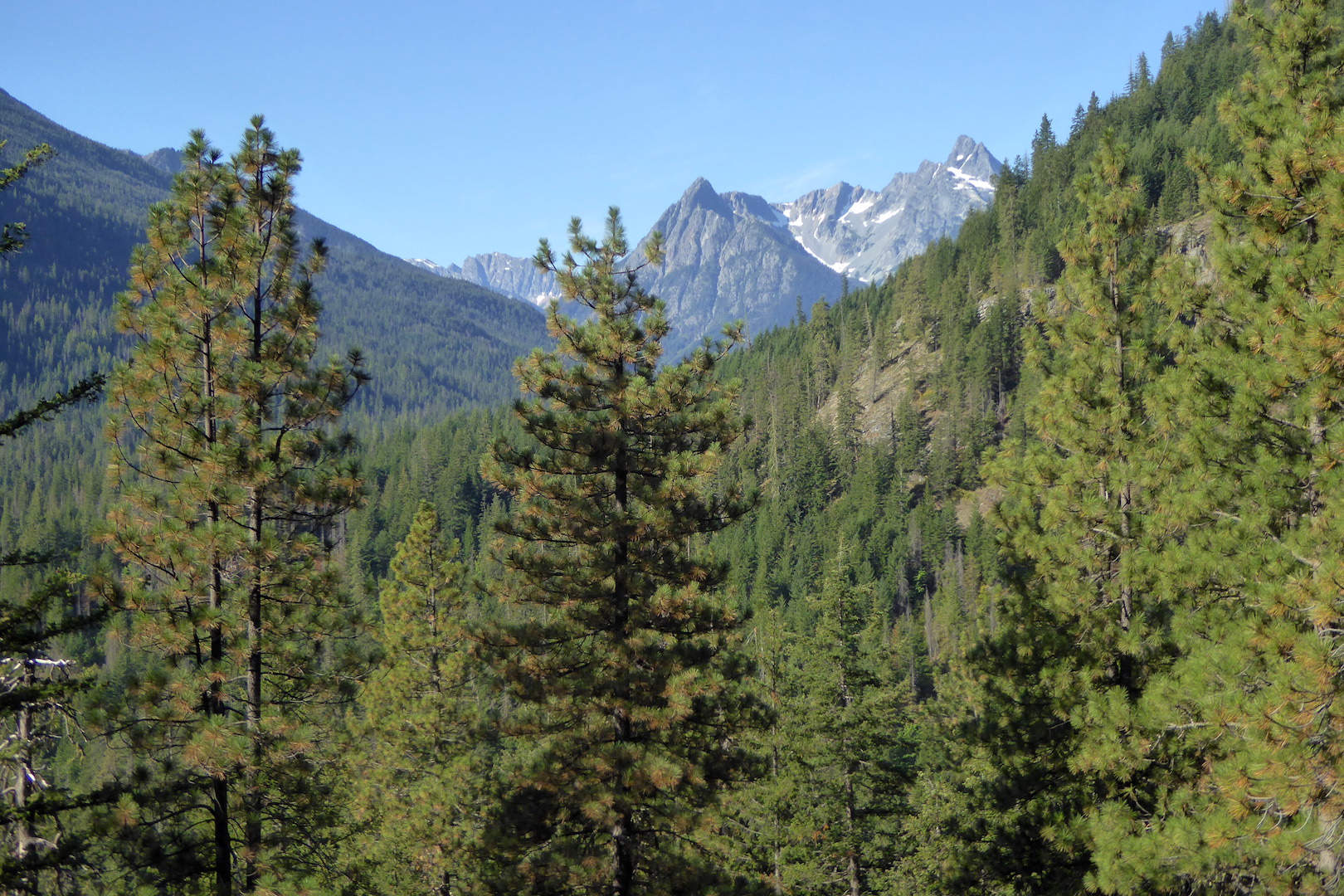
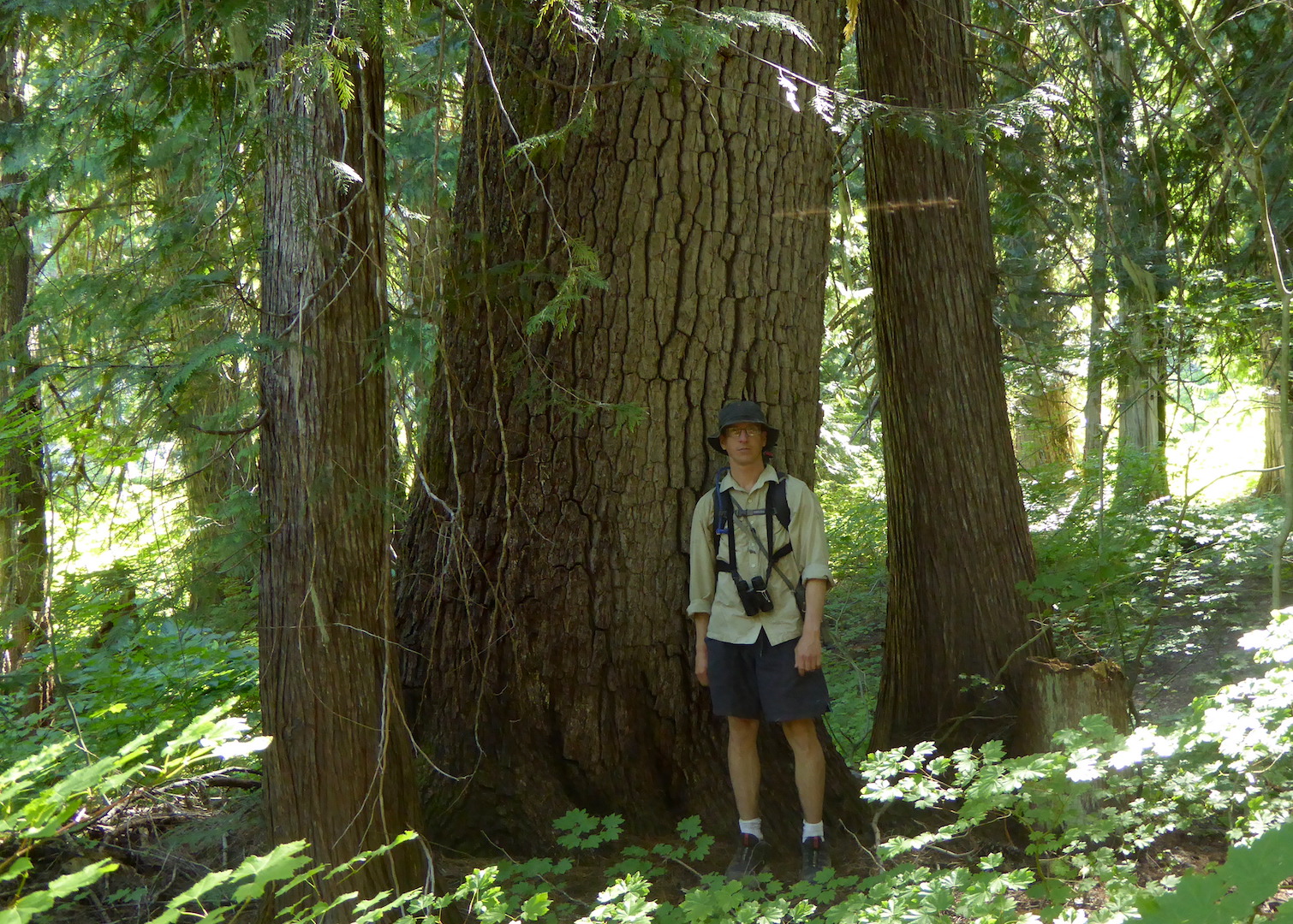
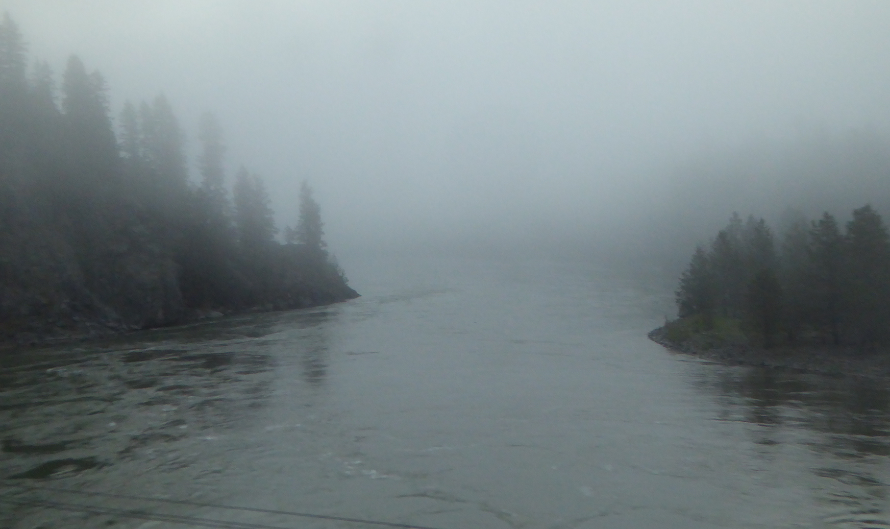 The train soon left the Kootenai River and passed through the Salish Mountains to the Flathead River valley. After Whitefish, Montana we began a slow climb toward the continental divide. Along the middle fork of the Flathead River, between Glacier National Park to the north and the Great Bear Wilderness to the south, lies one of the most scenic stretches of rail on the route. Every bend provided new views of the snow-capped mountains bounding the narrow valley.
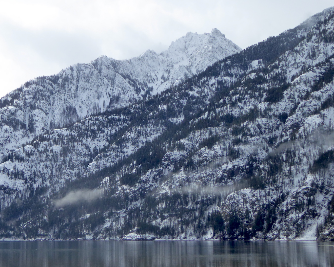
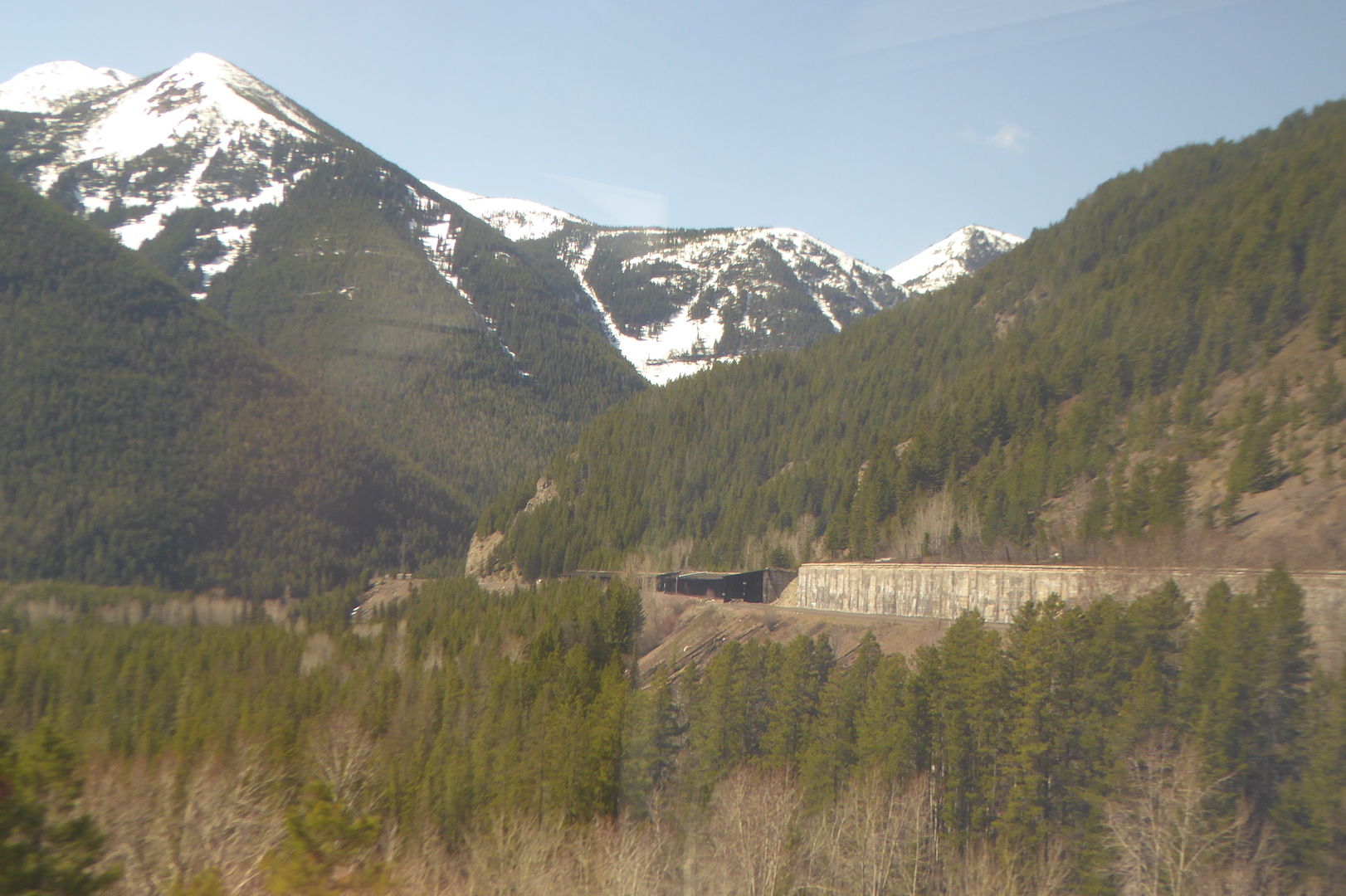 While I enjoyed the mountain scenery, for me the real highlight of this section was the stark contrasts in vegetation and climate. The low valleys on the west side Glacier National Park capture enough precipitation to support the growth of species also found within the wet forests Washington’s Cascades. At West Glacier I caught glimpses of the some of the eastern-most stands of western red-cedar (Thuja plicata). This species, you could say, likes it feet wet and it won’t grow where soil moisture is too low. In this part of North America, a lack of suitable habitat squeezes the red-cedars into narrower and narrower confines, and it quickly disappeared as we traveled east.
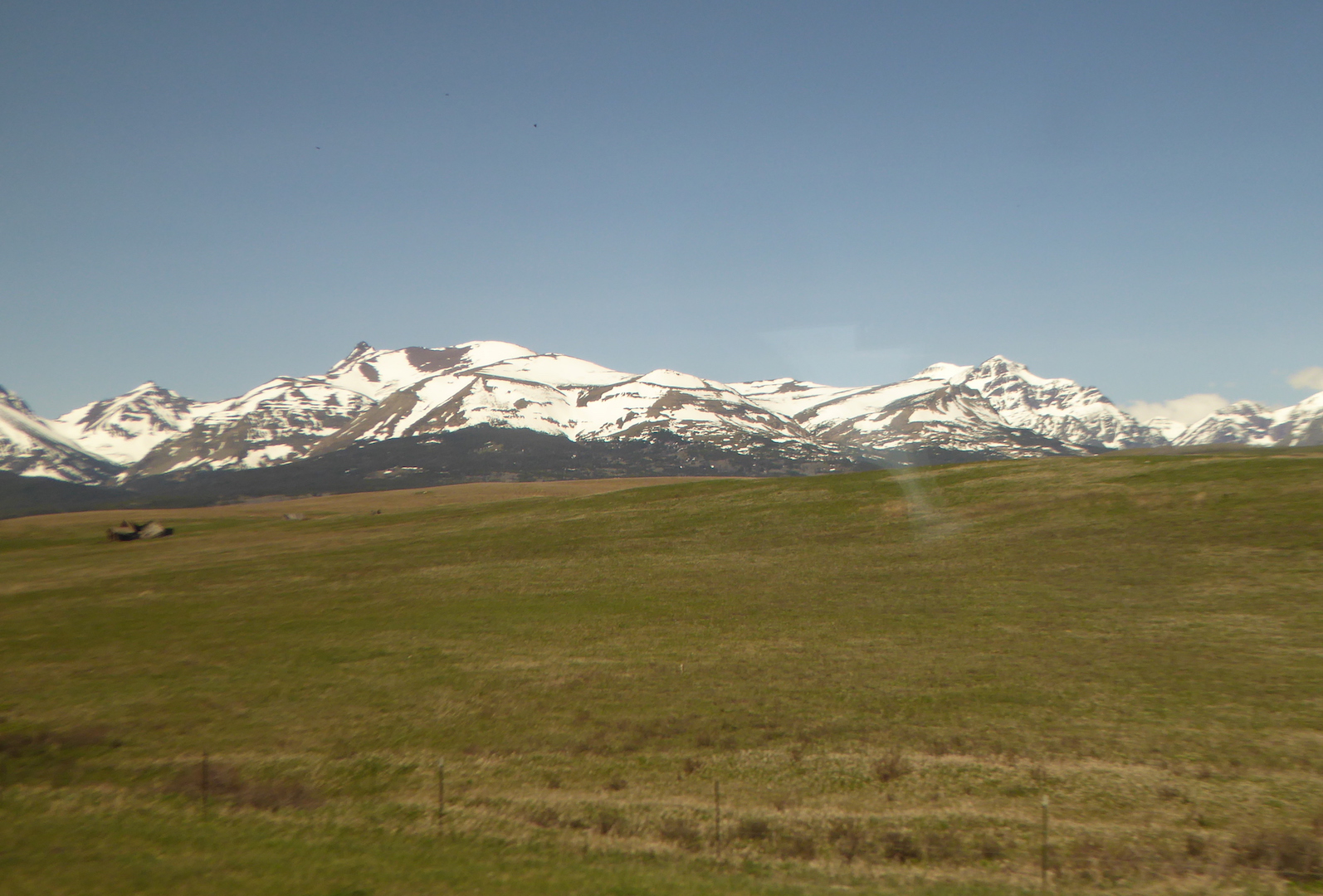 Like the Cascades, the Rocky Mountains create a strong rain shadow across northwestern Montana. Browning, MT, east of the mountains, receives only half the precipitation of West Glacier. For the next thousand miles across Montana and North Dakota prairie dominated where the land was not cultivated or otherwise appropriated by people. The only trees were either planted or grew along creek and river bottoms where their roots could tap into a shallow water table.
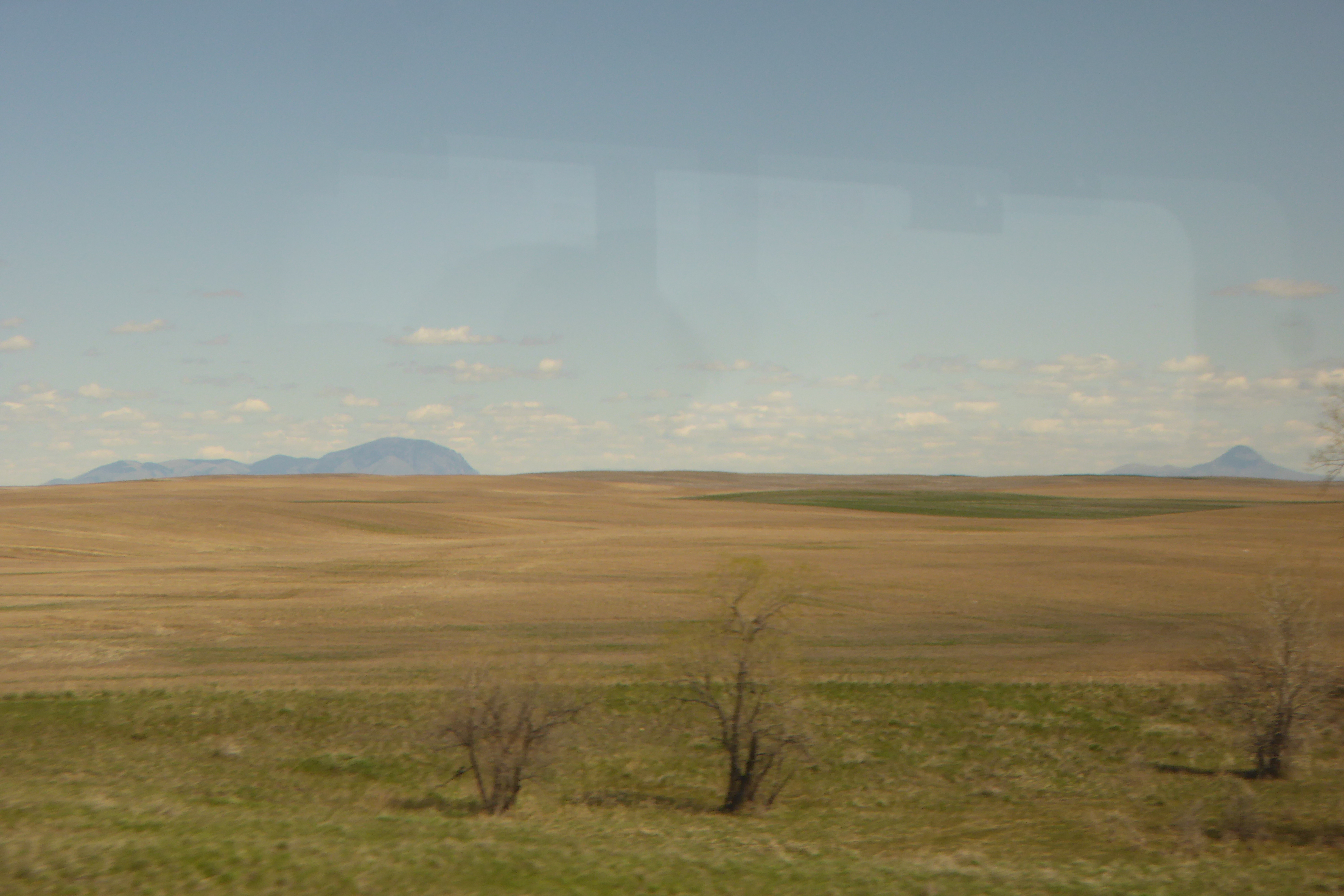 Wildlife became easier to spot on the open prairie. Through Montana the railroad took us just south of the true
 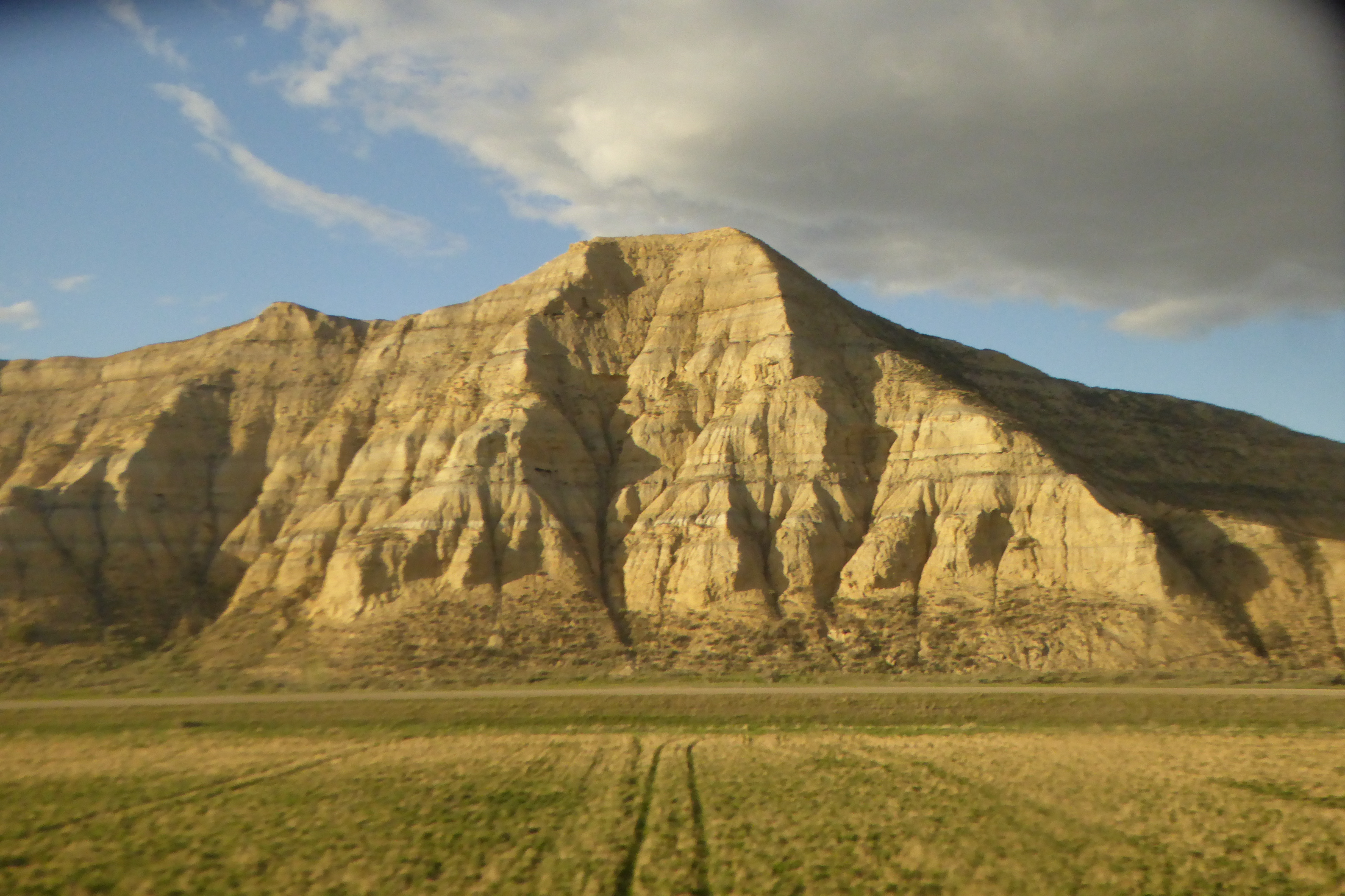 In North Dakota, fracking wells became a prominent sight as the sun set.
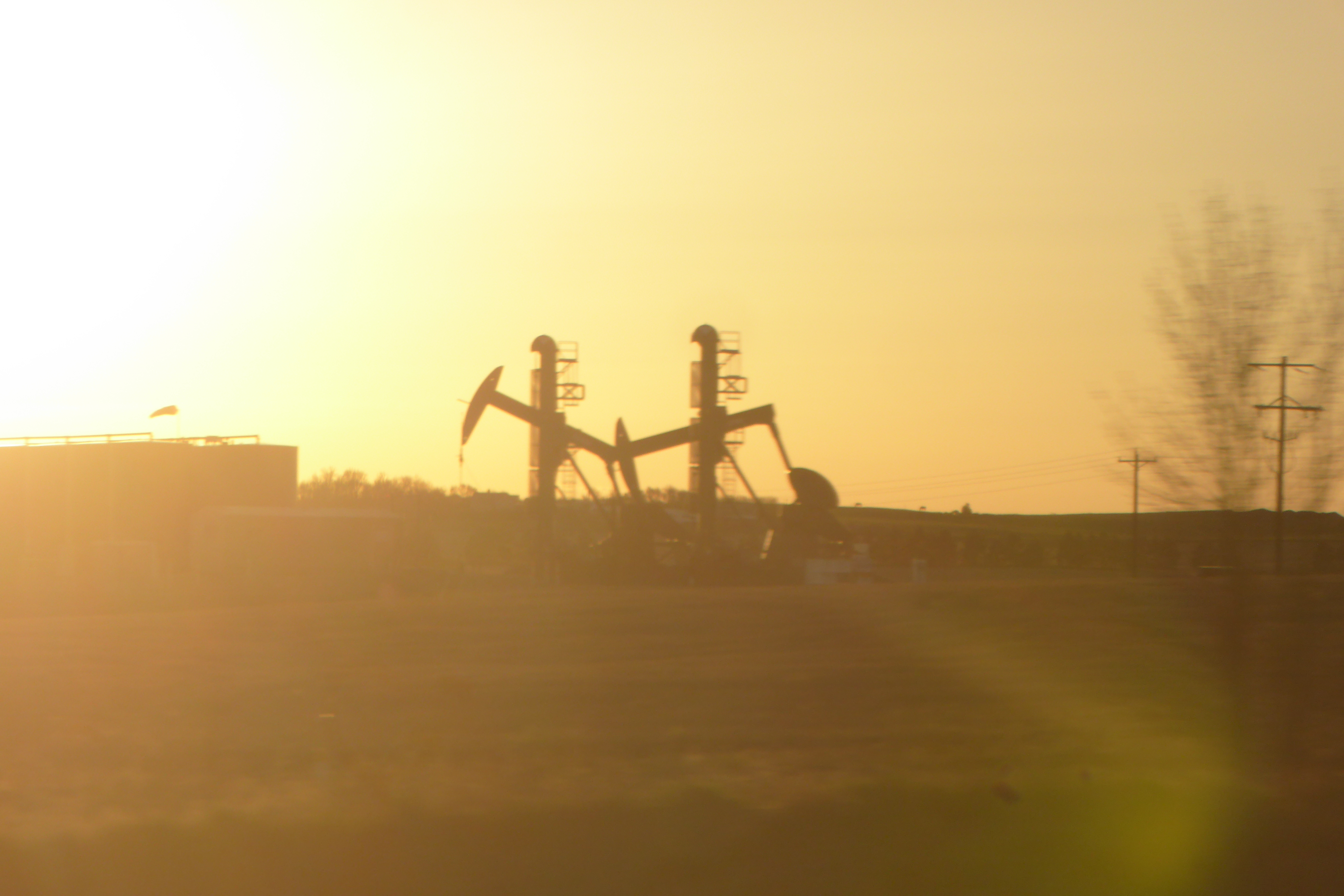 On the morning of my third and final full day on the train I woke up somewhere in Minnesota where the prairie had long since yielded to cornfields. This was, historically, a battleground between prairie and forest. In this area, where precipitation is great enough to support tree growth, fire was the prairie’s greatest ally. Periodic burning kept the forest at bay. After American settlement, the prairie was plowed and fires suppressed. Along this ecosystem margin today, you’re more likely to see farm fields bordered by trees than a patchwork of prairie and forest.
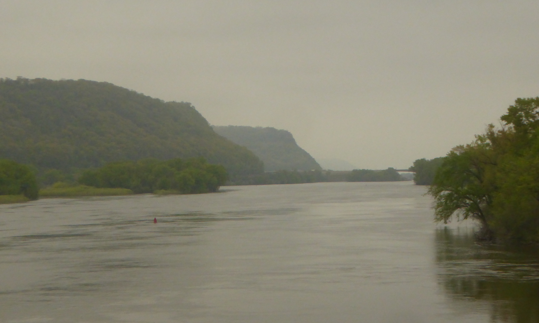 …and the floodplain forest drowned in water.
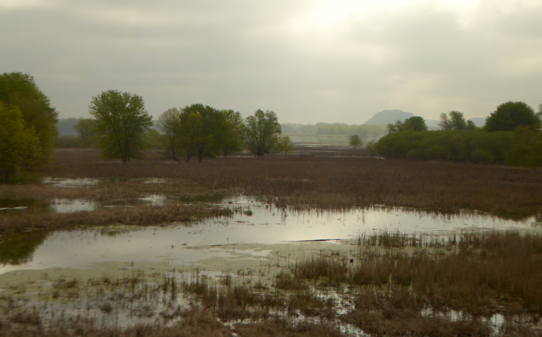 The train crossed the Mississippi one final time at La Crosse, WI. Heading upland into central Wisconsin, jack pine (Pinus banksiana) appeared on sandy soil. This species is essentially the eastern equivalent of lodgepole pine and the two hybridize where their ranges overlap. Like it’s western sibling, jack pine is well adapted to fire, often holding